8/8/2015
Guitar Lake to Mt. Whitney and then Whitney Portal
17 miles 3,500′ of up 6,000’+ feet of down
and 250 miles of driving
Kevin and I are in a private shuttle now driving up the 395 towards Reno with Dick, Manuela, their kid, and Dave.
Looks like we completed the John Muir Trail and our adventure is over. Feels really surreal. Especially to be in a car watching the mountains we just took weeks to hike pass by in a matter of minutes.
We rose at 1:15 am, put on every piece of clothing we brought with us, two shirts, fleece vest, puffer, wind breaker, fleece ear warmer, as it was freezing cold, tried to eat a super hard Clif bar, packed up camp, and got to walking by 2:15 am. Dick led the way up the mountain. We walked for about an hour (I think) up granite steps. They path was very wet with moisture though thankfully not icy. We paused to change the batteries in our head lamps as they were significantly dimmer than Manuela’s and Dick’s. I heard Dick greeting a hiker coming down the other direction, which is odd for someone to be coming down Mt. Whitney at this hour. The hiker responded back “Happy Birthday Dad”.
It was their son.
He had surprised them on the side of the mountain. Managed to find his parents on the side of the mountain. He flew, took a bus, hitchhiked, took a train, more buses, got the last wilderness permit available at Whitney Portal, then climbed up Mt. Whitney from the eastern side to find his parents to surprise his dad on his birthday. It was absolutely amazing and honestly a bit of wild luck that he found his parents on the trail. They hadn’t communicated for over a week so he was guessing that they would try to summit today. The parents were flabbergasted that their kid was suddenly on the trail. They thought he was still up in Juneau, Alaska. He was only wearing van sneakers, shorts, a sweater with a puffer over, and had no food should he had not found his parents. But it all worked out!
We let the group move on past us as their pace was a bit quicker than mine. Kevin really encouraged me to get up that mountain. We were hiking under the stars and every now and then we paused for water and a nibble to eat and looked out at the night sky. Too bad I have no photos of the night sky as it was incredible.
At times it was hard to pick out the trail among the rocks and boulders and my legs really felt spent. After about 3 hours we made it to the trail crest junction which meant we only had another 1.9 miles to go and 1,000′ more feet of up! It was super slow going as it was along the crest of a mountain and just a tad bit treacherous. From the crest we caught our first glimpse of civilization and city lights. I realized I hadn’t seen city lights since Mammoth Lakes over a week prior. Many folks drop their packs at trail crest and make the last push with just a small bag. We opted to keep ours on as honestly, not much was inside our packs at this point, 2 days food, sleeping bag and tent. I doubt my bag weighed more than 16 lbs.
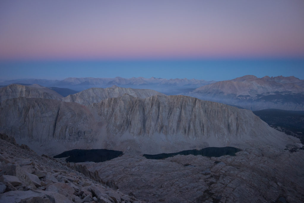
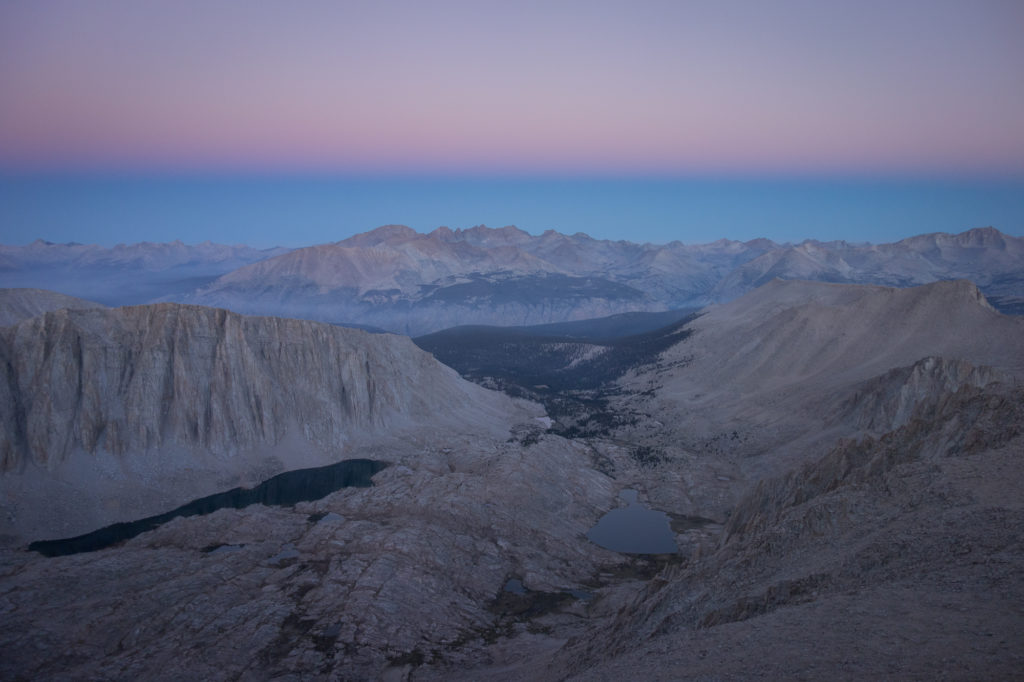
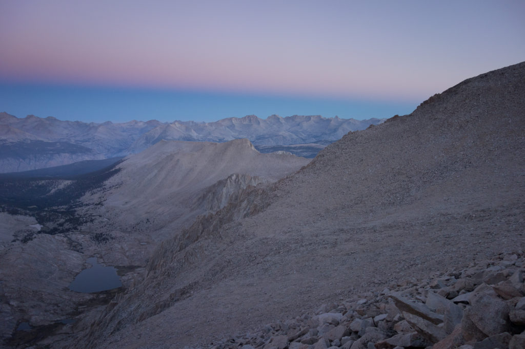
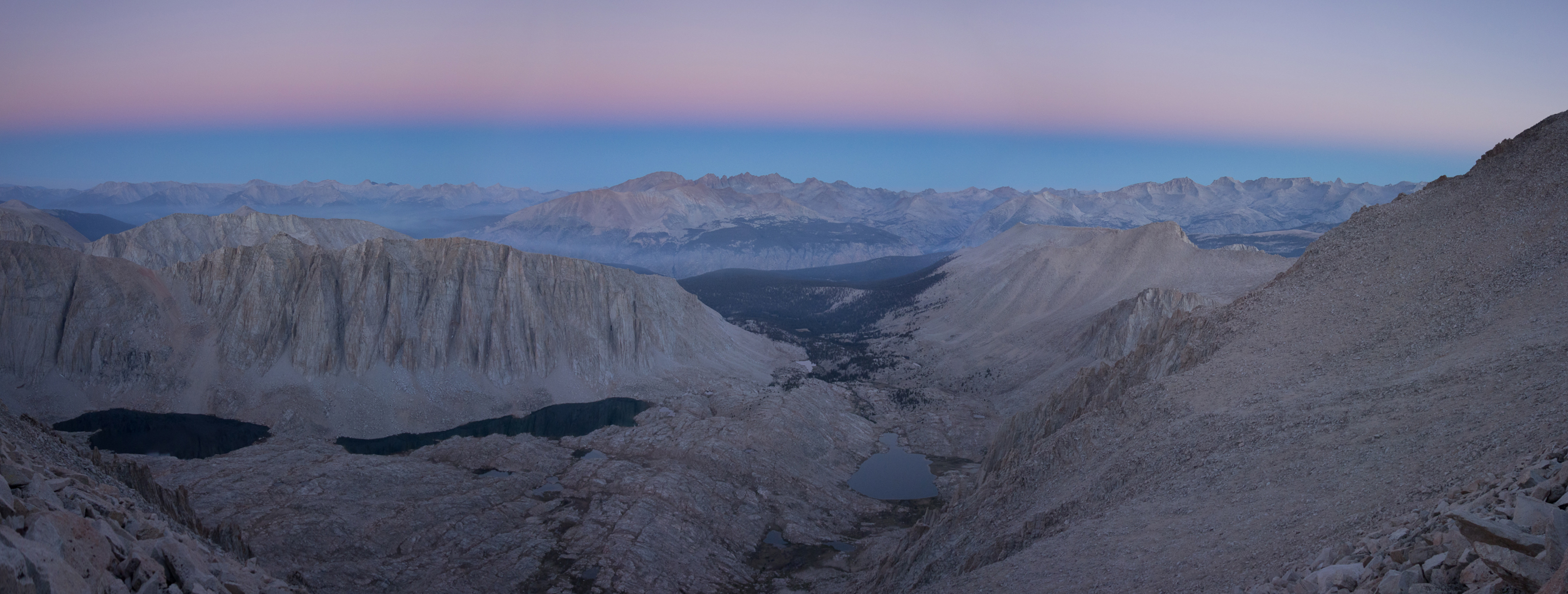
As we climbed along the ridge, daylight started to peak up and illuminate the eastern side. It was so cold the water in our bottles froze. It took a lot of determination to keep pushing up. I was repeating in my head “if this were easy, everyone would do it” and “I am strong”.
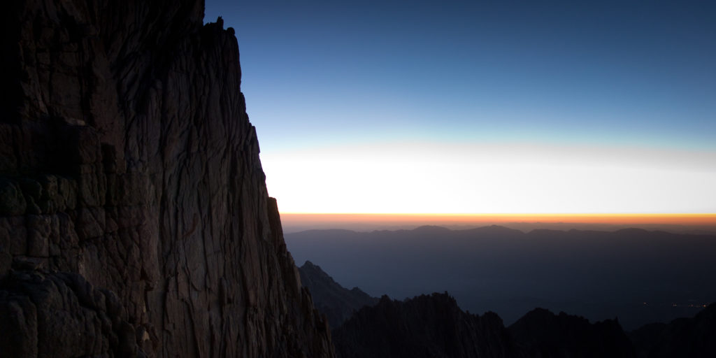
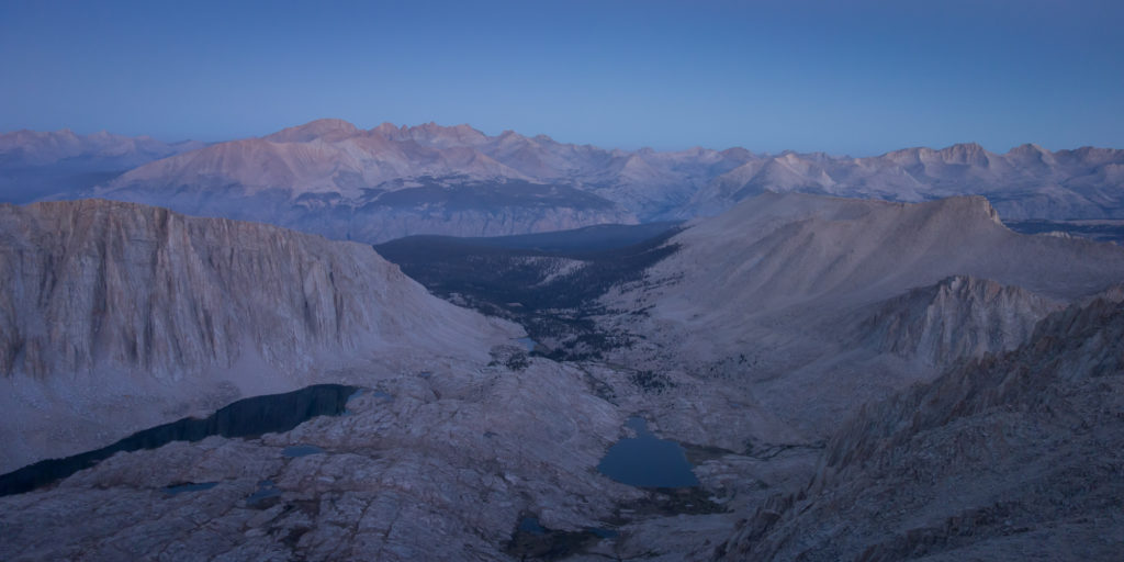
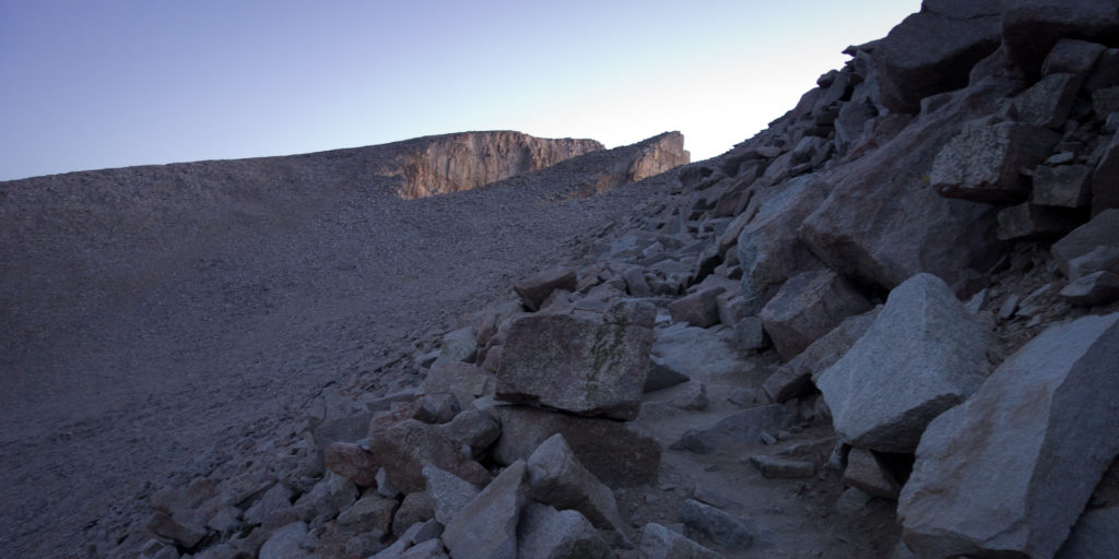
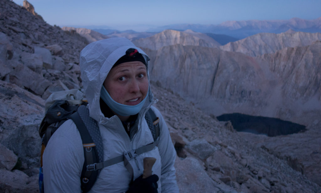
Lyell, Stuart, Steve, and Emma were coming down from the summit and told us we had just a couple hundred more feet. They looked so cold! Before I knew it the warming hut was in sight and we were at the summit of Mt. Whitney. I cried. I cried stupid blubbering tears.
We went all the way to the eastern edge of the mountain (the highest part) and stared into the rising sun.
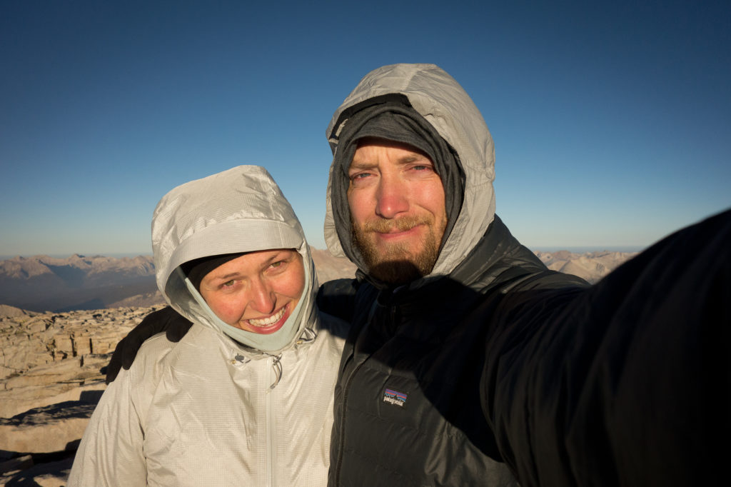
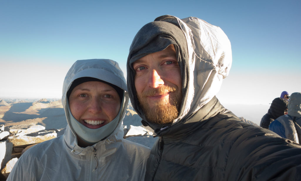
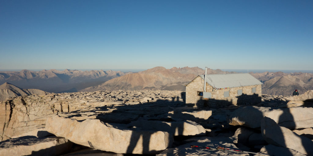
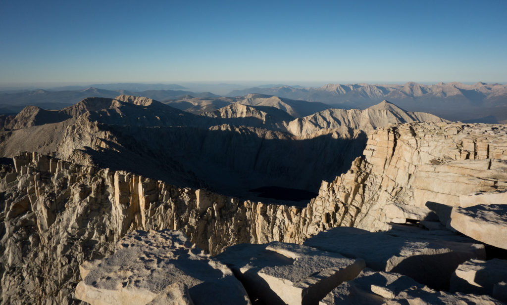
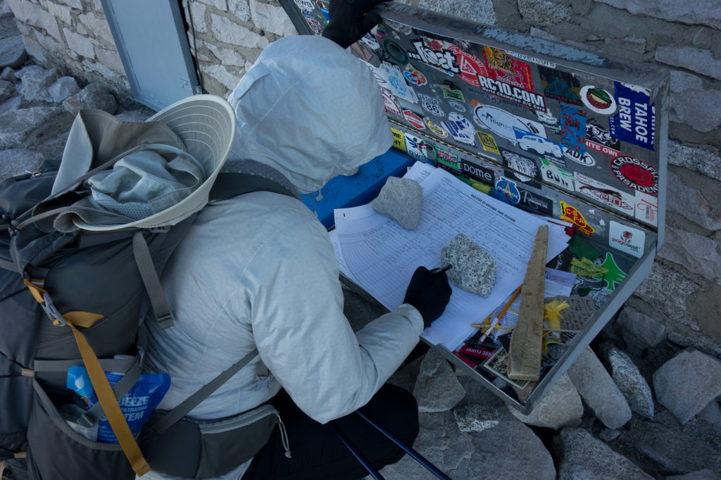
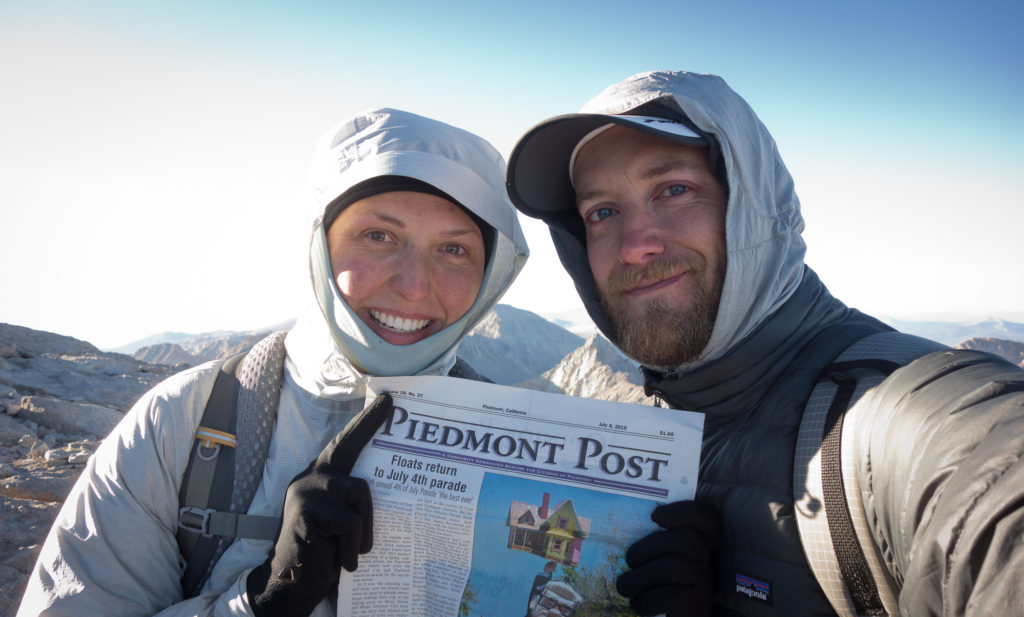
We went back to the warming hut to find Dick, Manuela, their son Theo, and Dave. Apparently Theo had astronaut ice cream on him to celebrate his dad’s birthday. Incredible. He was a tad bit cold and had his dad’s sleeping bag wrapped around him like a caterpillar.
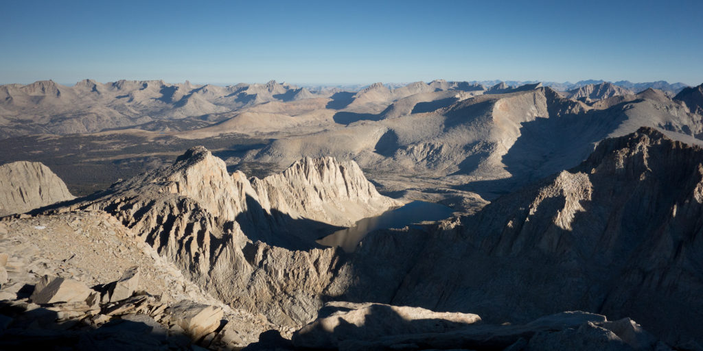
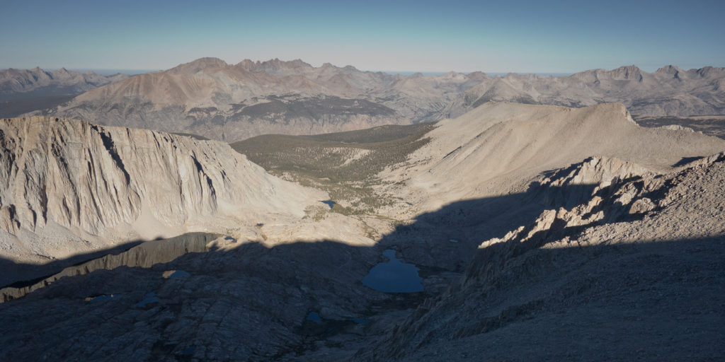
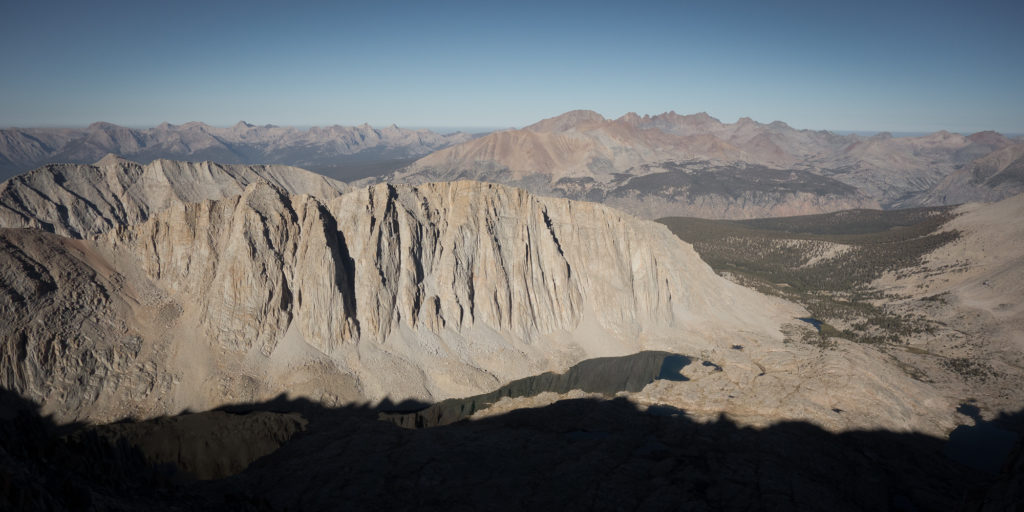
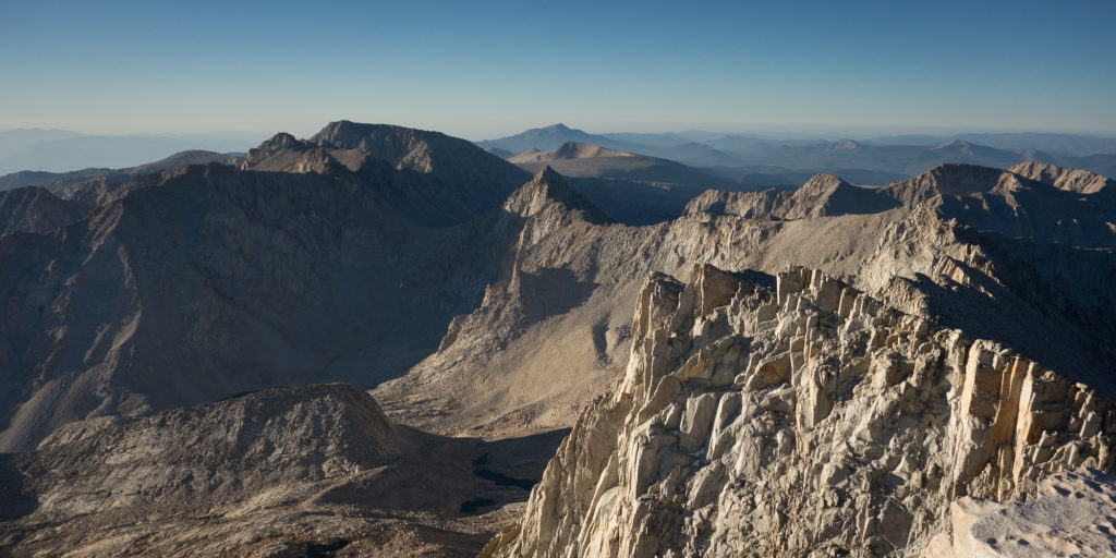
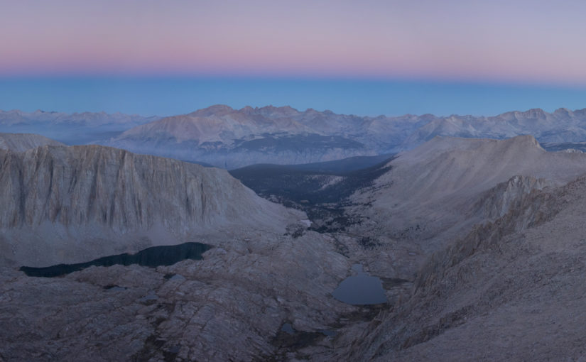
We didn’t stay on the summit that long. Looking back I’m bummed we didn’t hang out longer and take more photos but it was truly freezing cold and we knew we had about 11 miles more to do to get to Whitney Portal. In daylight we had a much clearer view of what we had just hiked up and it was kinda nutso!
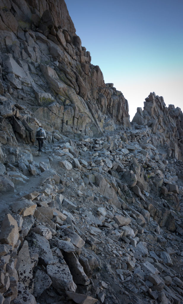
Crest trail skims between these parapets rock formations. Every now and then you get glimpse to the eastern side. I noticed another pair of hikers pausing to the side as one vomited. Altitude sickness is a real thing up here. Thankfully after sleeping above 10,000′ feet we were acclimated. I did get a headache as we started down the other side but soon realized that it was just my coffee addiction acting up.
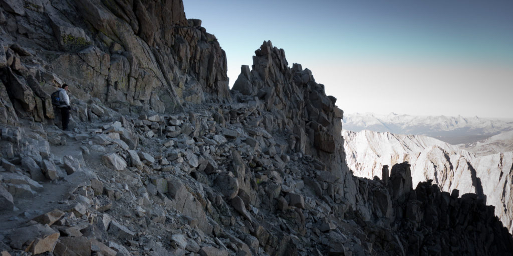
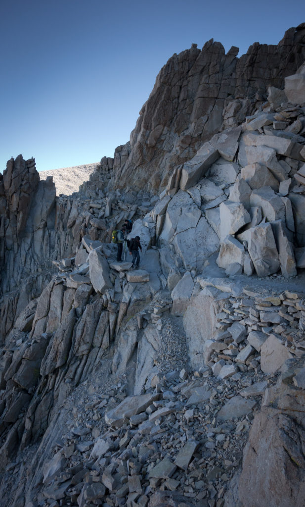
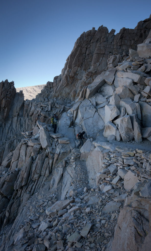
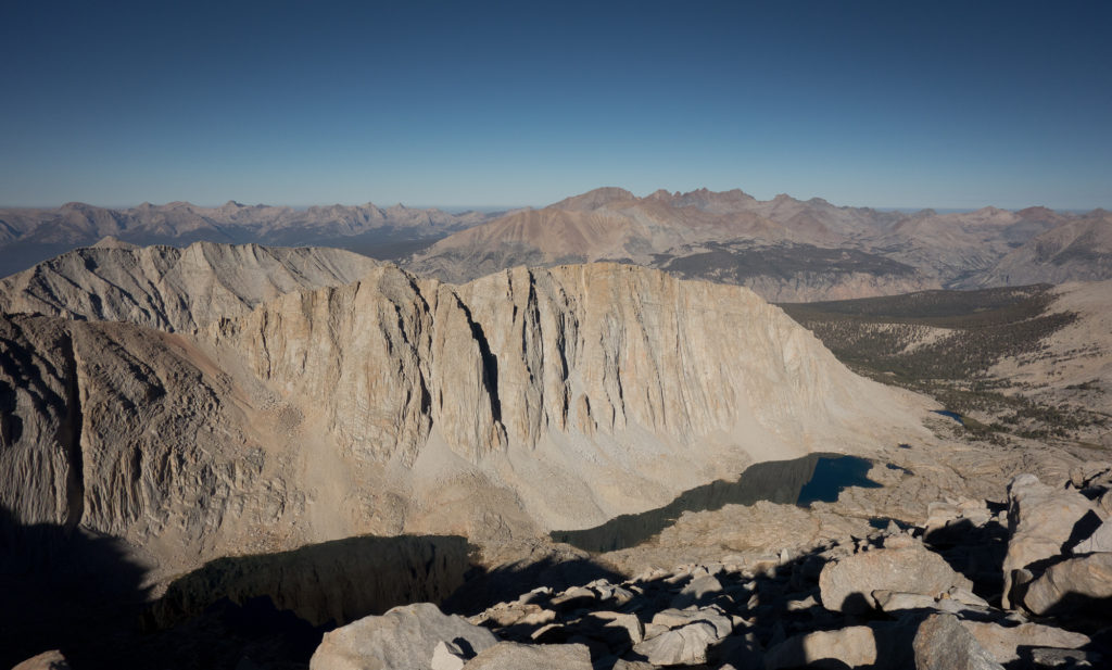
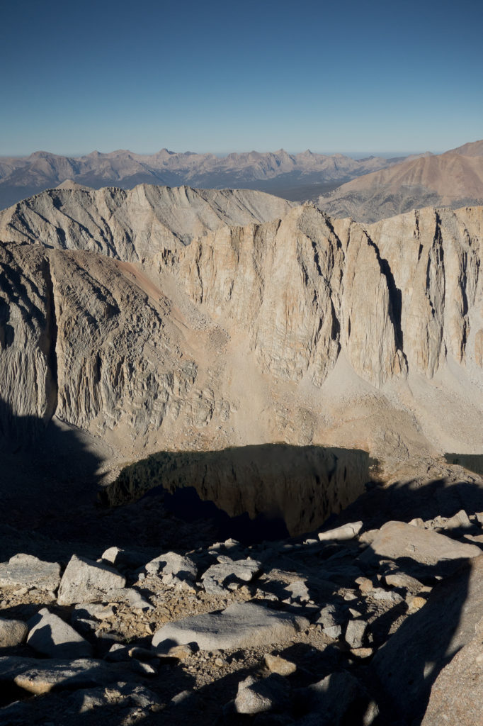
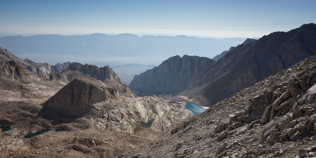
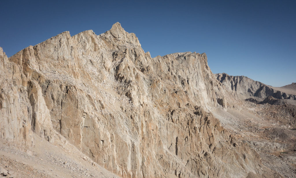
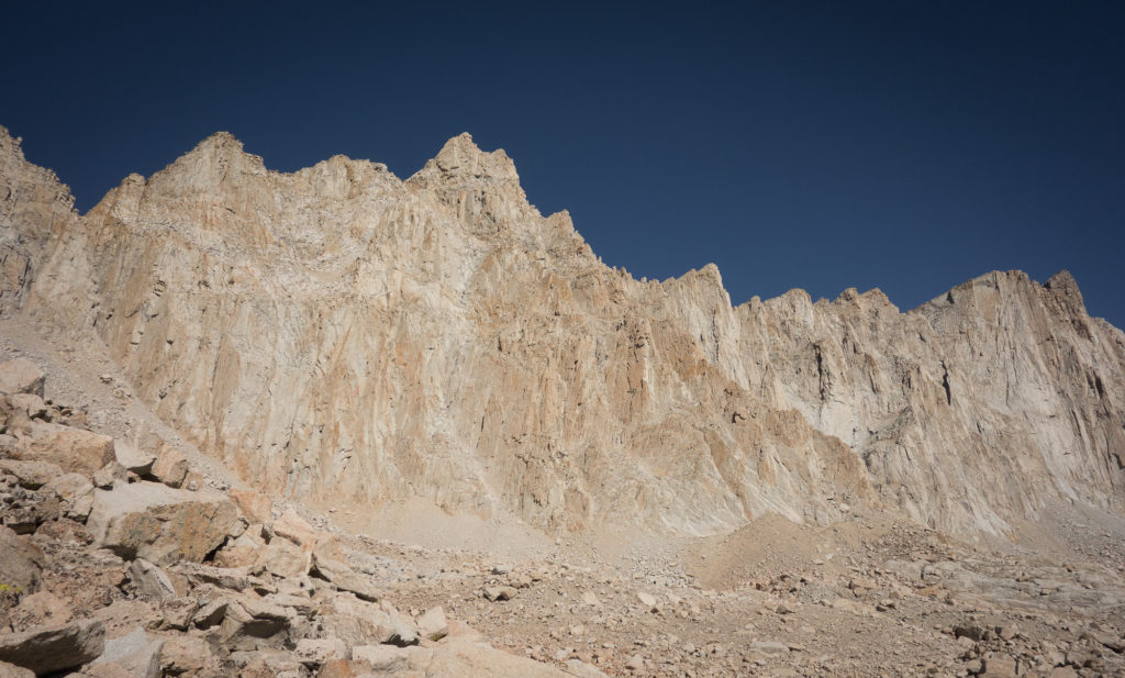
From Trail crest junction the trail starts what are known as the 99 switchbacks down the side of the mountain. Now I’m not sure if there really were 99 switchbacks as I didn’t count, but considering we descended for over 5 hours and 11 miles, it is highly possible. We started encountering hikers coming up from Trail camp around 7 am. They looked so clean. And out of breath. Coming up the eastern side of Whitney looks WAY harder than the western side, granted we had to hike for days just to get to the western side approach :P. We paused around 10 or 11 am to peel all our layers off and return to our normal shirts and shorts uniform.
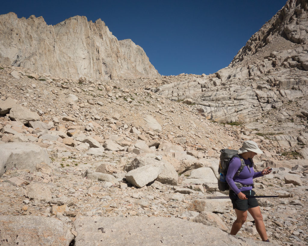
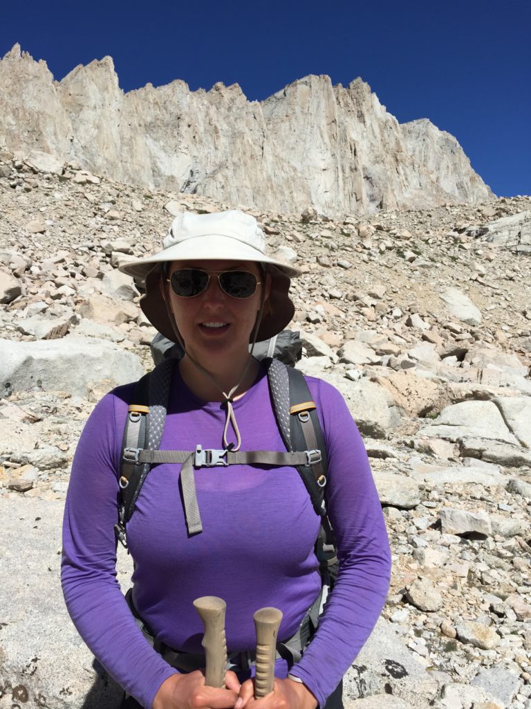
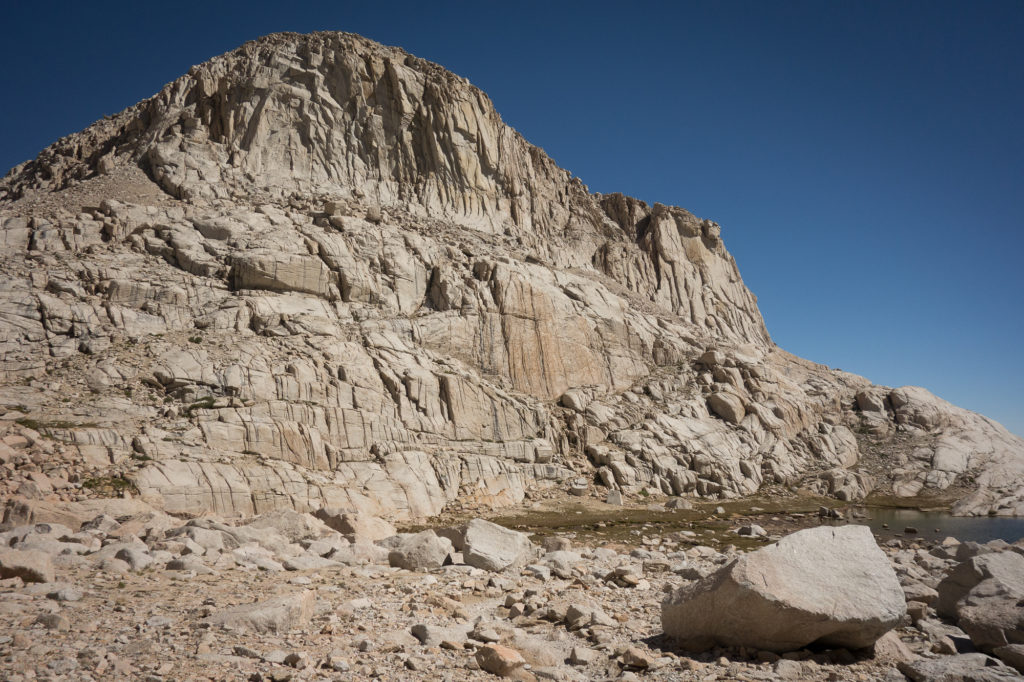
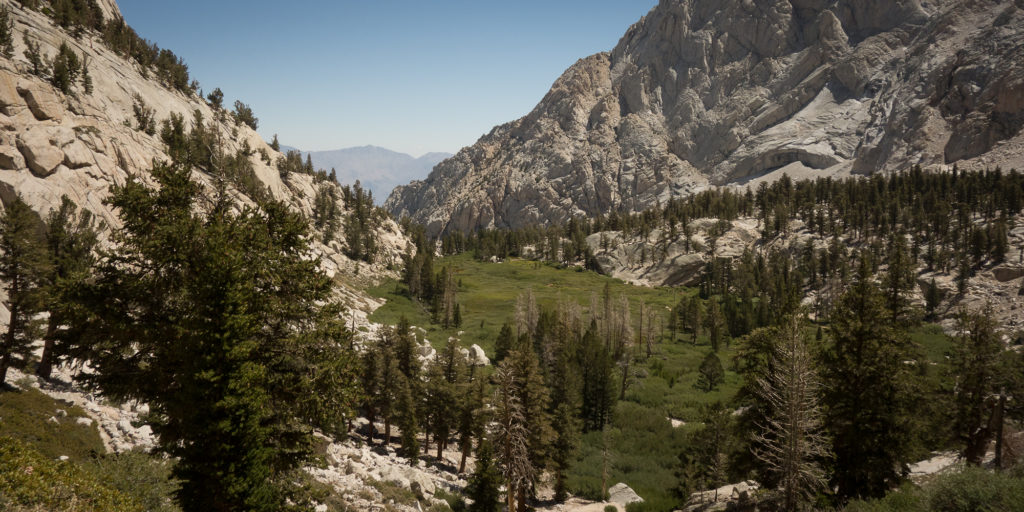
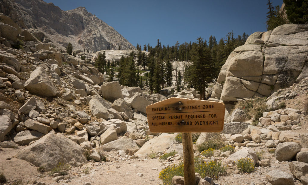
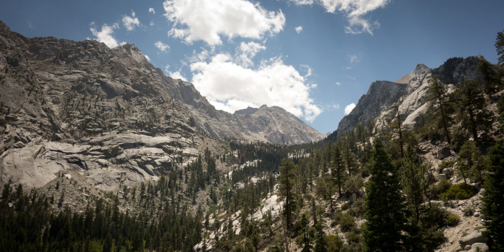
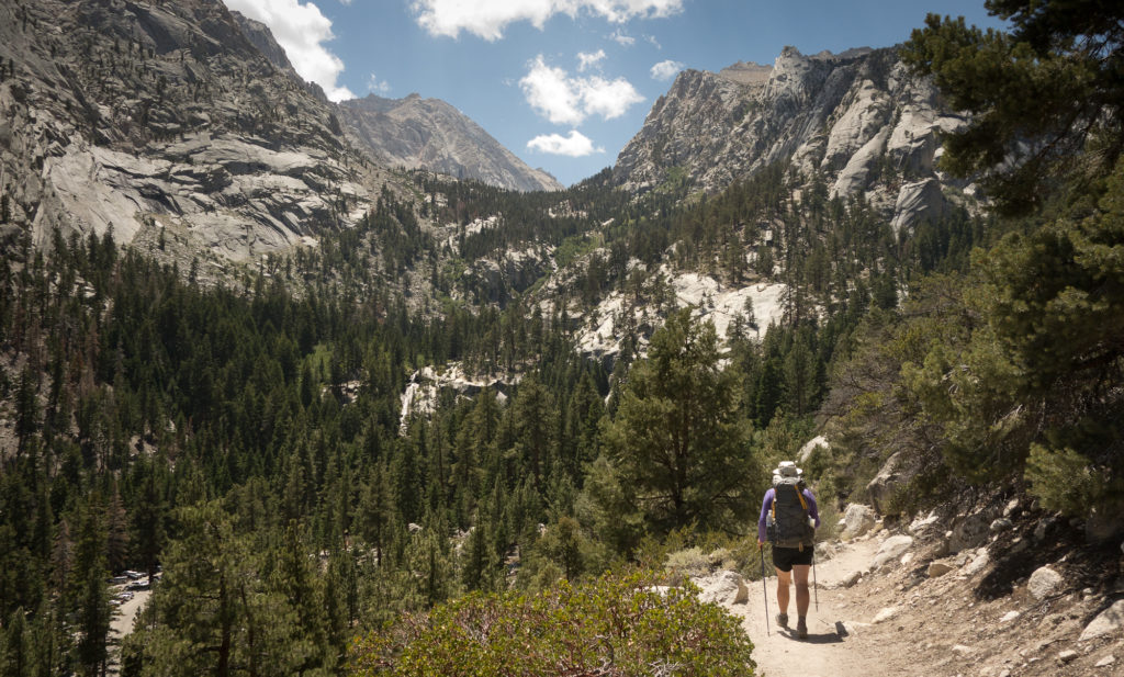
The folks in our group who had climbed Whitney before warned us about the length of the downhill descent and they were right. It just kept going on and on, 6,300′ feet of down actually. Even when we could spot the road, and a car, and the roof of a building, it was another mile, mile and a half to the bottom. By then we were encountering day hikers. Folks with no hat, no back pack, not even a water bottle. Dang we must of looked like dirty hippies to them.
Eventually we made it to the end of the trail. I grabbed Kevin’s hand as we walked off the John Muir Trail and onto the asphalt pavement of the Whitney Portal Parking lot. We quickly found Dave, Steve, and Emma hanging at the picnic tables.


I procured the long discussed cheeseburger and beer from the general store, and a hot coffee, while Kevin filled up on more water. Honestly, it was not the best cheeseburger. The fries were mushy and the bun was soggy god I sound like an annoying foodie hipster. All that was left to do was wait for our ride to Reno. Thanks again George for getting that arranged, otherwise I think we would of hitchhiked out. When the shuttle arrived we realized it only fit 6, and Steve and Emma bowed out. Sad.
Thanks for the wonderful post, great to reexperience the trip again through your eyes. It was a great journey, one I’ll always remember and was amazing to share it with you guys!!!
This summer only a few short trips to the Whites in NH, I’ll miss hiking the west. Emma decided to take the year off from college when we got home from the JMT and has been traveling in Spain and South America since September. She had a volunteer job in Torres del Paine in Patagonia in Chile for three months and backpacked for a month of it. She’s still visiting parks in northern Chile and is on her way to Machu Pichu in Peru. The JMT inspired all this for her!!
Hope you are both well!!
Love, Steve
Jessica – in addition to being a terrific hiker, youre also a terrific writer. Thank you for taking the time to share this. Good work on the trail and onward to more adventures!
Best, Stuart & Lyell
do you know backpacking dinner recipes?