8/2/2015 LeConte Canyon to Palisades Lakes
12.5 with lots of up. 8,070 – 10,700.
We broke camp at 7:40 this morning and hiked a couple miles before stopping for breakfast on a sunny rock. One of the interesting aspects of hiking through canyons that are oriented north to south is we don’t get much light in the morning, or in the evening for that matter. So mornings can be a bit cold and it feels good to get moving first and then stop for hot oatmeal and coffee.
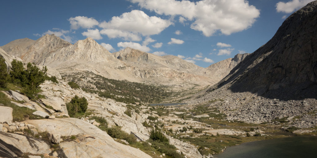
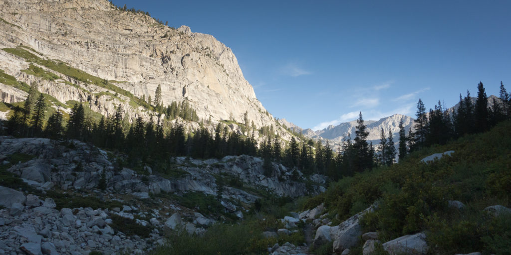
From LeConte Canyon the trail makes a hard turn east and leaves the Kings River behind and follows Palisade Creek up an amazing canyon. Kings Canyon is just as beautiful as Yosemite, just without the giant crowds and parking lots. Which I supposed makes it better. We met a woman who had a GPS device that gave her weather read outs. She told us that we had maybe one more day of thunderstorms but then clear weather for the next week. Which is very good news for our climb up Mt. Whitney, the highest peak in the continental US.
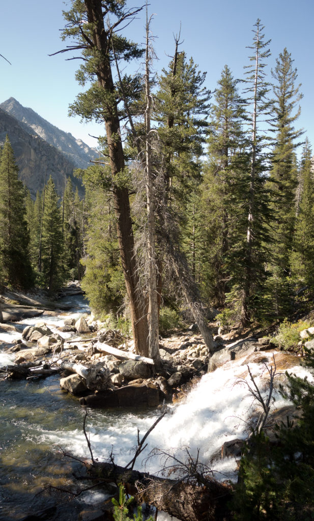
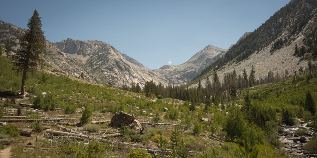
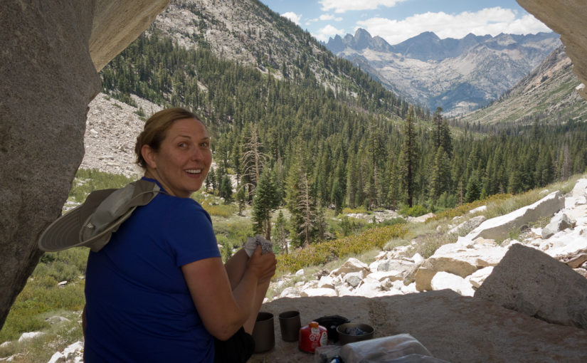
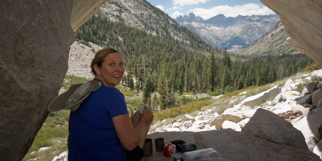
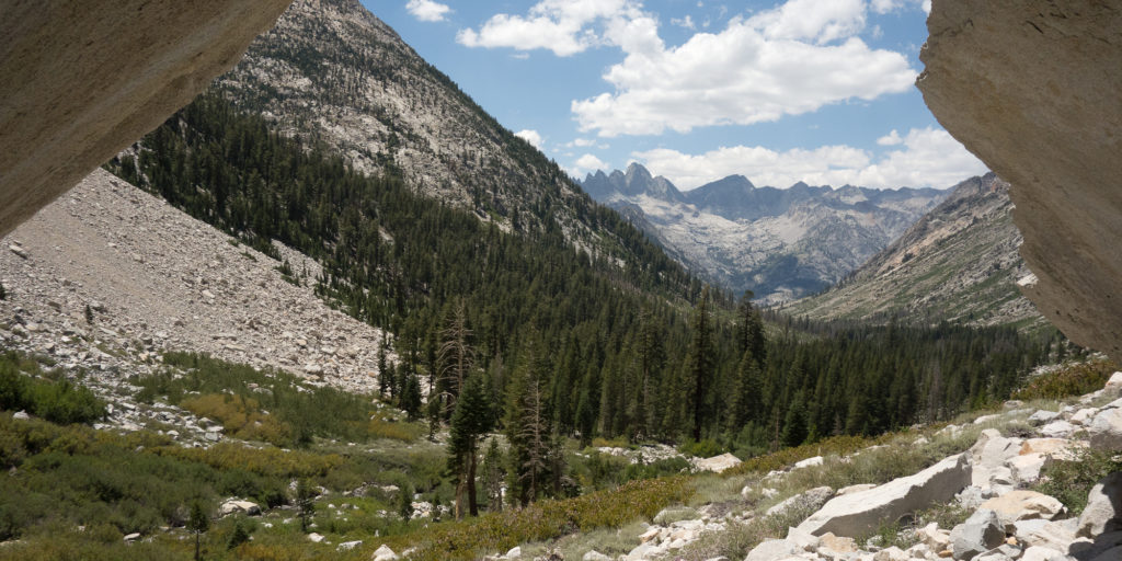
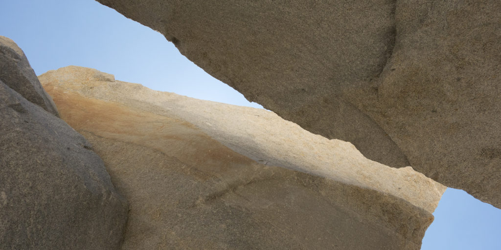
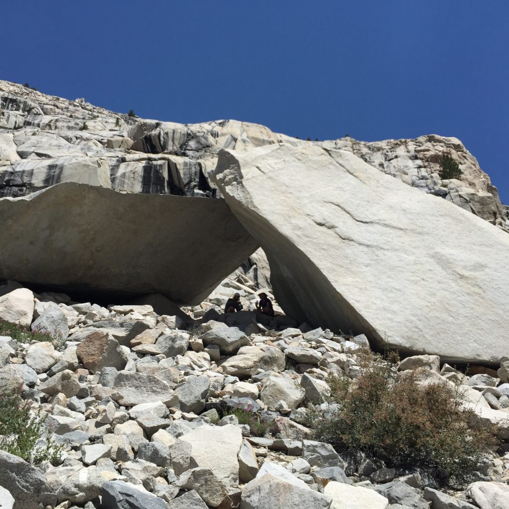
The canyon slowly climbs for about 7 miles alongside Palisade Creek. We paused for lunch under some giant boulders to escape the heat as we were above the trees at that point. It was a pretty cute little spot. I’ve been trying to make gatorade at lunch to make sure I get necessary electrolytes to prevent leg cramps. Though the pink powder blows everywhere in the wind and makes my fingers all sticky. Next time I’m getting easy to use tablets or even just take electrolyte pills.
After lunch we encountered basically a rock wall and the only way up was beautifully engineered stairs and switchbacks. Thanks conservation corps! It really was a golden staircase to get up and out of the canyon. I thought the rocks were a more pink in hue than golden. We’ve been hiking a lot with Stuart and Lyell from Portland. We paused next to one of the many waterfalls coming down the switchbacks to dunk our heads and shirts in the water and pump water. Lyell (the son of the father son duo) had a nice iPhone app that gave pretty accurate location and altitude read outs, letting us know how much further we had to go till we hit the lakes.

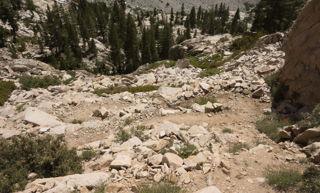
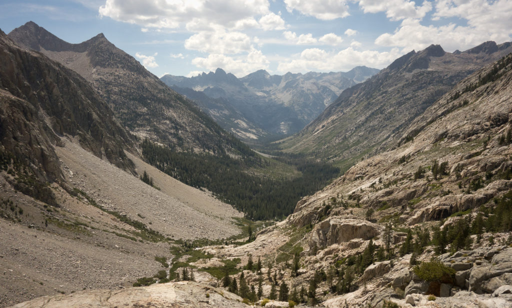
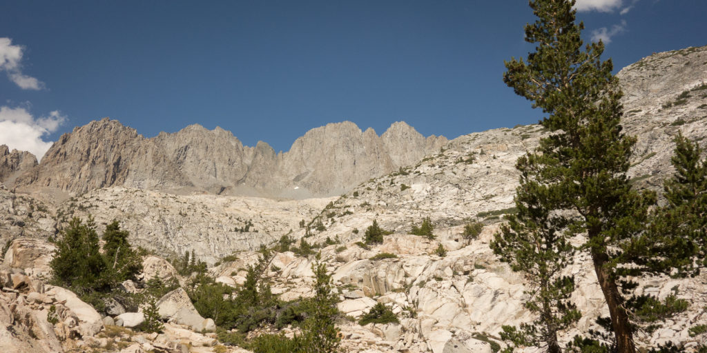
One of the funny tricks about this hike is even after you do a butt load of climbing up, say 2,000′ of elevation, there is typically a tiny bit more to get up and over a ridge. The staircase was good hard work and it tapered out. I thought we would hit the lake “any minute now” but it was a good half hour more of hiking before we saw the lake. But my word, what a relief when that lake came into view.
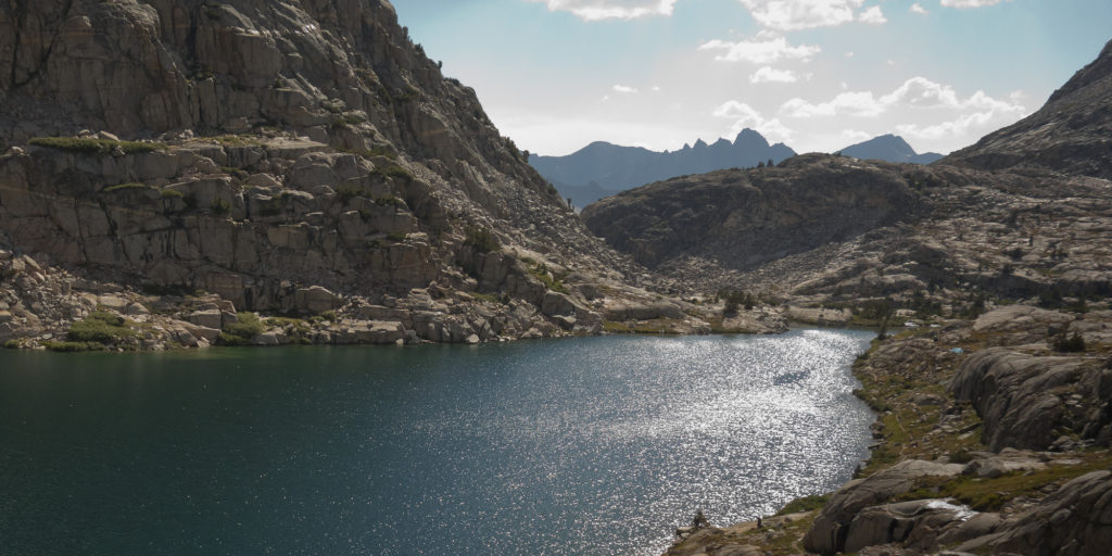
Steve and Emma were camped at Lower Palisade lake. I think Emma had gone for a swim and they were chilling reading their books. So idyllic. We all hung out for a bit chatting about the day, the trail, life in general. I dangled my feet in the lake and pumped more water. Kevin and I opted to hike on a bit to the Upper Palisade lake. The camp site we found was spectacular. Up on a bluff looking over both lakes. It is a shame I don’t have a picture of it. We are now at the 145 mile marker which leaves us with only 75 or so miles left to go. Makes me feel very invigorated to know I can actually accomplish this trail. We’ve passed a lot of PCT hikers, you don’t even have to ask you an just tell as they carry less, smell worse, and keep moving now matter what.
