Day 5 – Red’s Meadow

7/25 Ruby Lake to Red’s Meadow
16.5 miles

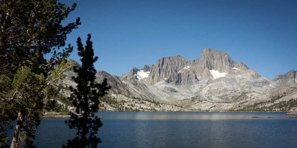
Ruby Lake was a beautiful camp site.  Kevin has this app on his phone that shows all the good established sites.  It was up on a rocky bluff overlooking the small emerald colored Ruby Lake.  I guess they call it Ruby as there are red colored cliffs rising out of the far side. We had a good, and large breakfast, and managed to pack up and be on our way by 8:30. That might be the earliest we’ve broken camp thus far. We then passed Garnet lake which looked surprisingly a lot like Thousand Island lake. Long lake butting up to a base of a mountain dotted with tiny islands. I’ve spied those Mount Ritter on the edge of our Yosemite map many times and always marveled at how long it would take to get there. And yesterday I managed to walk right on past them.

Between every lake was a small pass. I’ve learned to really pace myself going up and over to not make my heart race.  The scenery, rocks, trees, even the chipmunks change with every mile.  From Garnet lake we dropped down over 1,000 feet to Shadow Creek Bride.  We took a long lunch and rehydrated a meal.  We had planned to eat two rehydrated meals for dinner but found it too much food so we are now splitting them up to make one hot meal for lunch. It was so good! Unstuffed bell peppers.  For the most part our dehydrated meals are really great. I’ve been adding more salt to my food to try and avoid leg cramps. Eating a big lunch really helped our mood and we pushed over on over a couple more climbs, past lakes Rosalie, Gladys, and Trinity.  Then, checking Kevin’s watch we realized we could make it all the way down to Red’s Meadow that night if we pushed really hard.  Yesterday night Red’s Meadow seemed another day away but at 3:30 we figured we only had 5.5 more miles to go of mostly down so we decided to push for it.  All the way down we were dreaming up ideas of sleeping in a bed in Mammoth Lakes, taking a shower, and a never ending french toast buffet.  Those thoughts powered me over the 5.5 DUSTY miles.  My god it was dusty. We ran out of water mid way down the grade. Did I mention the dust? I could scrap it off my legs in chunks.  Well we made it to Red’s by 7:20, just in time to see the last shuttle to Mammoth pull up to the visitor shot. We were elated and a little in disbelief. We bought tickets for the shuttle and got on. I started calling hotels in Mammoth Lakes only to quickly find that the entire town was sold out. We had forgotten it was a Saturday and Mammoth is a popular vacation town.  Goodbye dreams of a real bed. Goodbye dreams of never ending french toast buffet. So now we are camped in the noisy backpackers site next to diesel generators and power stroke giant trucks.  Oh well. At least we get a camp shower tomorrow.  We may go into town and rest up a bit and buy a new cook pot.

We are officially 1/4 done with the trail.  Every day is a long adventure with big highs and lows, in elevation and emotions.
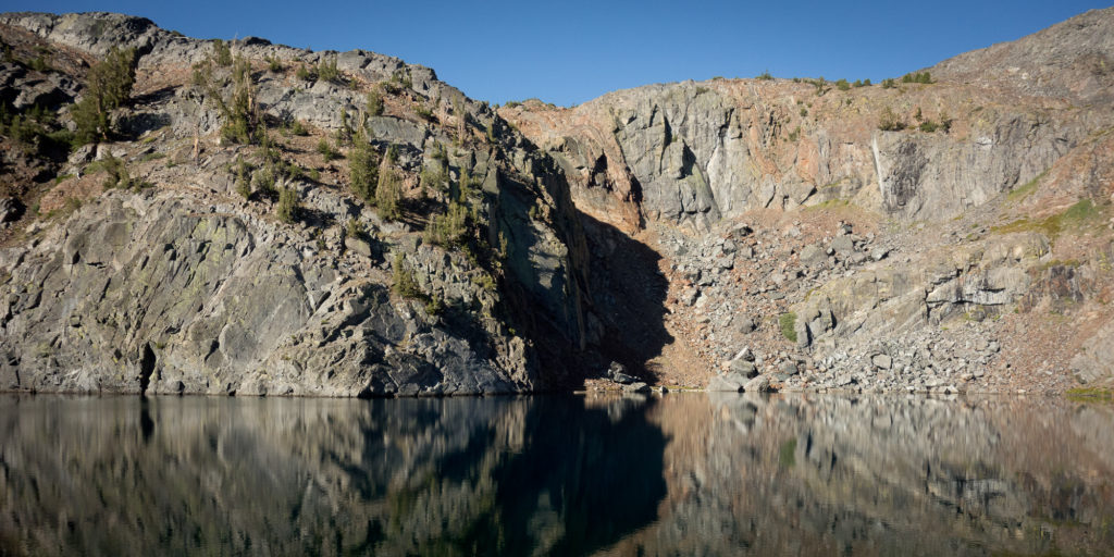
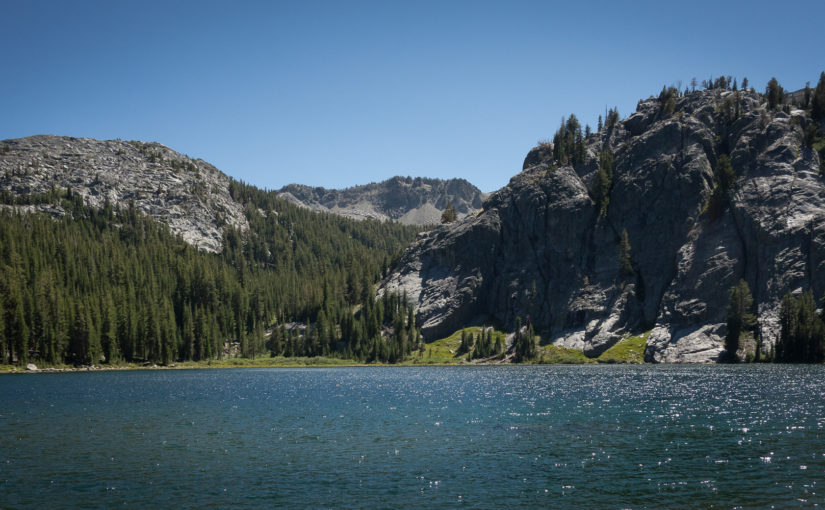
Ruby Lake, High Sierra
Ruby Lake in the morning


Garnet Lake, High Sierra
Garnet Lake, High Sierra and Banner Peak
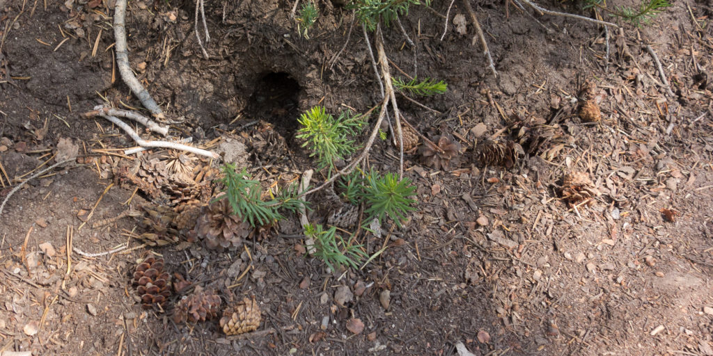
Someone's tiny home
Someone’s tiny home
Looks like a sasquatch!
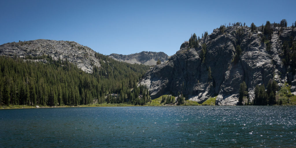
Rosalie Lake
I think this is Rosalie Lake
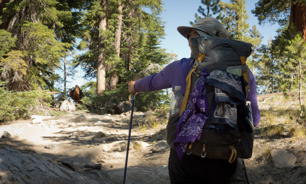
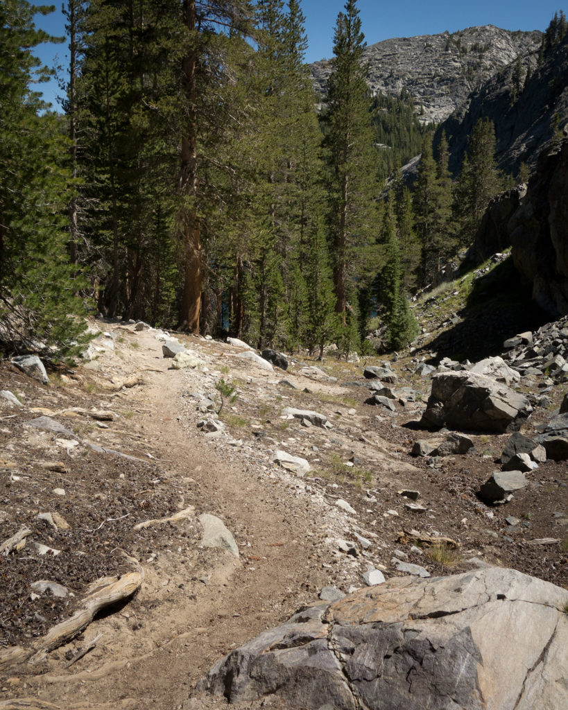
John Muir Trail
Lots of up and down today!
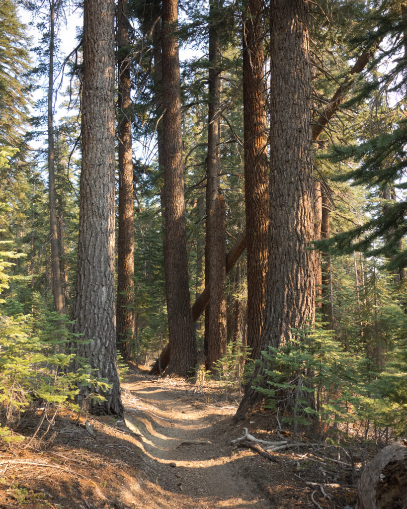
John Muir Trail
In the trees late in the afternoon.
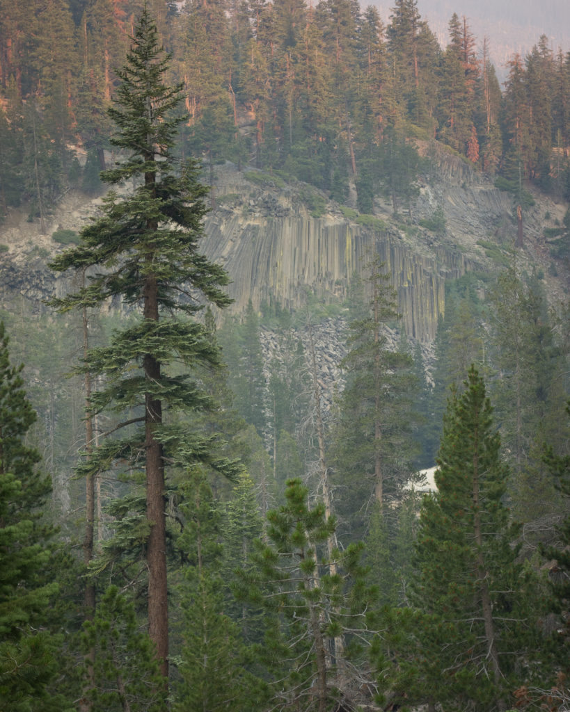
Devils Postpile
Devils Postpile
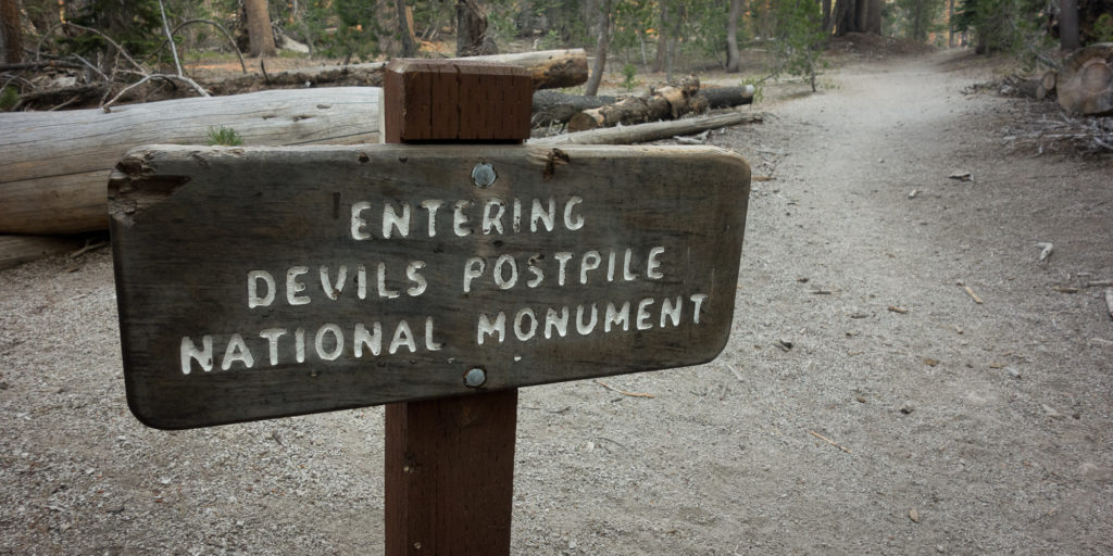
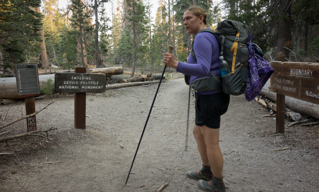
Entering Devils Postpile National Monument
I was hot and dusty. But we made it.


Pt. Reyes Hike

I love Pt. Reyes. It has all the good parts of a hike in my mind: big trees, beach, babbling creeks, fog, waterfalls, bunnies, and ice cream sandwiches at the end of the day. We’ve actually done this loop twice, once on Valentine’s day, and again on June 6th.

We pick up the trail at the Bear Valley Visitor center. Coming from Oakland the drive takes at least an hour twenty to get out there, not counting the stop at Mollie Stones for sandwiches and snacks. There is no fee to park, which is nice. From the parking lot we set out on the Bear Valley Trail, which is a nice, very low grade, path.

On Bear Valley Trail
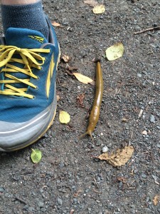
Giant banana slug
Giant banana slug

It picks up a bit of elevation and then drops back down to the beach. From there we turn right and pick up the coast trail, which believe it or not, follows the coast line for a couple miles.

IMG_8053
Made it to the beach!

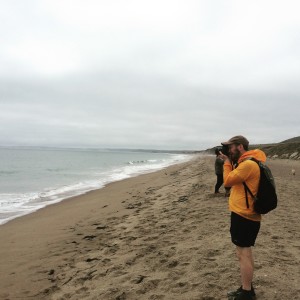
We stopped for lunch at the Coast Campground, just past 8 miles into our hike. A Boy scout troop was set up, playing football, leaving their food out for the crows to steal, etc, etc. The beach was nice and fogged in. While I could hear the fog horn clearly, I could just barely make out Pt. Reyes Lighthouse in the distance.

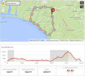
From the beach we turn back east and head up the Fire Lane Trail. It’s a good climb of about 800 feet.  We spotted coyote but I didn’t get a shot of him before he disappeared.

IMG_8049
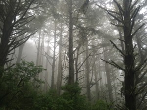
Lots of fog.
IMG_8077
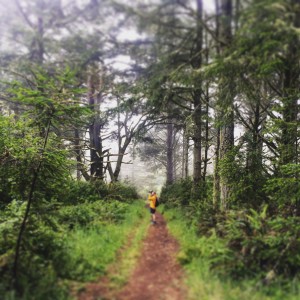
Close to the summit in the fog
Pt. Reyes Map and Elevation
Beer and Taco reward

Hiking the John Muir Trail

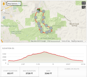
Welcome to our John Muir Trail blog. We are documenting the process, training, planning, and all the type two fun involved in hiking the John Muir Trail.  As of today, we are 15 days away from our start date in Yosemite Valley.  We’ve been doing a lot of training, but the hike yesterday left me a bit concerned.  Kevin had done the hike to the top of Mt. Diablo twice so he knew what to expect. It is 3,200 of up over 5 miles.  We started the day a little late at 1 pm after scouring the nearby Sports Basement for more gear (gotta get the gear). The late start meant we started our climb at the hottest point of the day, which probably added to my misery.

Mt. Diablo
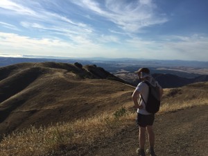
Kevin looking west on Mt. Diablo

While the slog up the mountain was rough, filled with whining, contemplating turning around, and full on sitting down in the middle of the trail, the exhilaration of making it to the top was real.  I pretty much cried eating our lunch of Subway sandwiches and Clif bars.


IMG_0201
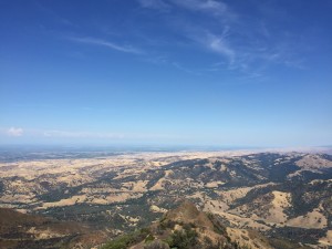
View looking North from the summit of Mt. Diablo
Trail map and elevation gain

The view from the top of Mt. Diablo is fantastic. You can drive directly to the top and avoid the 13 mile hike.

This training hike taught me a couple things:

1) Taking slower steps when it is hot and steep is better than trying to go fast and stopping every 5 minutes.
2) Always bring more water than you think you’ll need.  We each drank 2 liters on the way up.