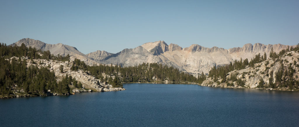
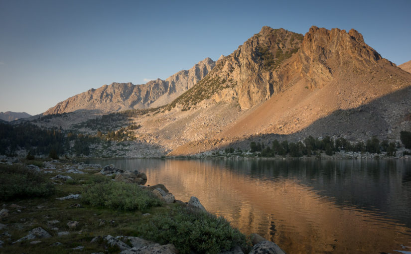
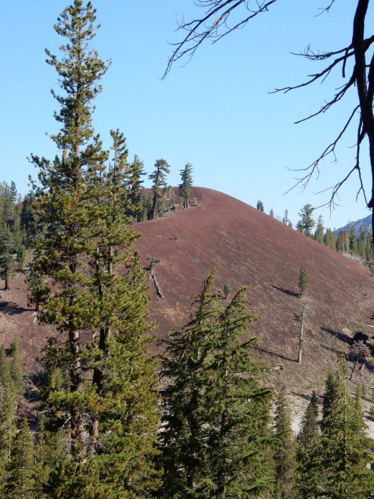
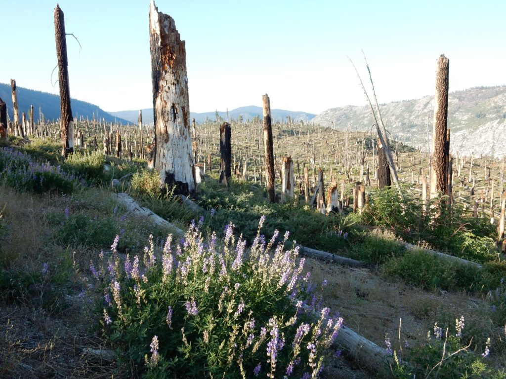
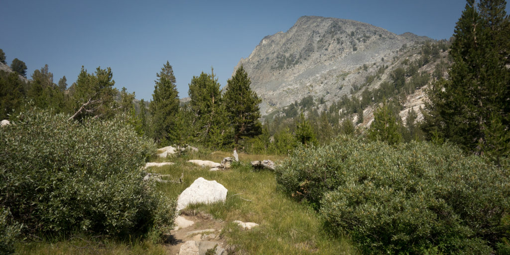
Day 9 – Heart Lake

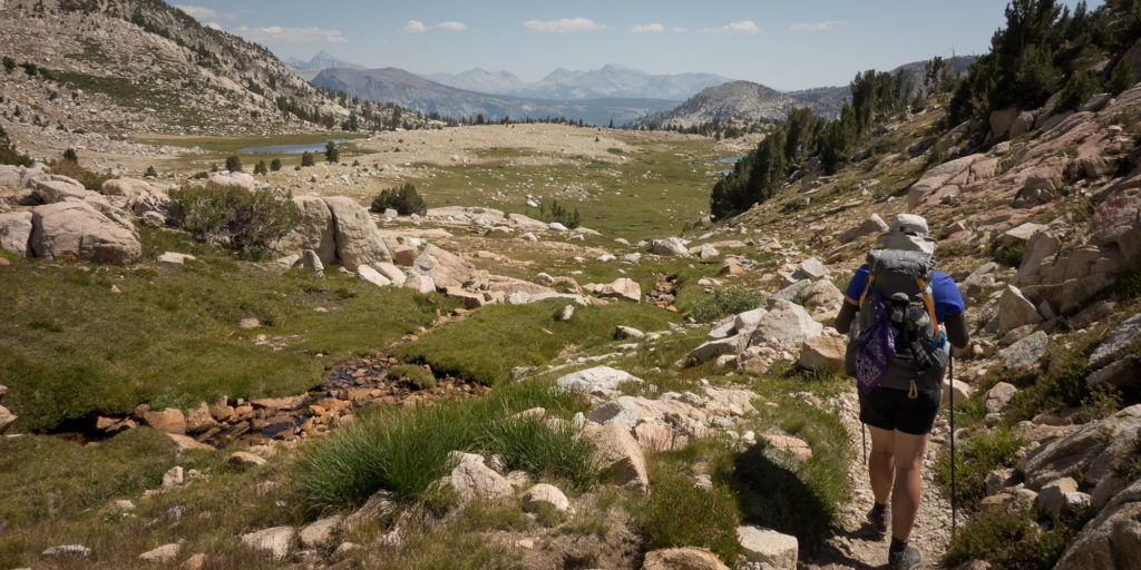
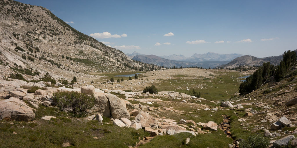
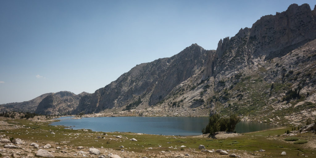
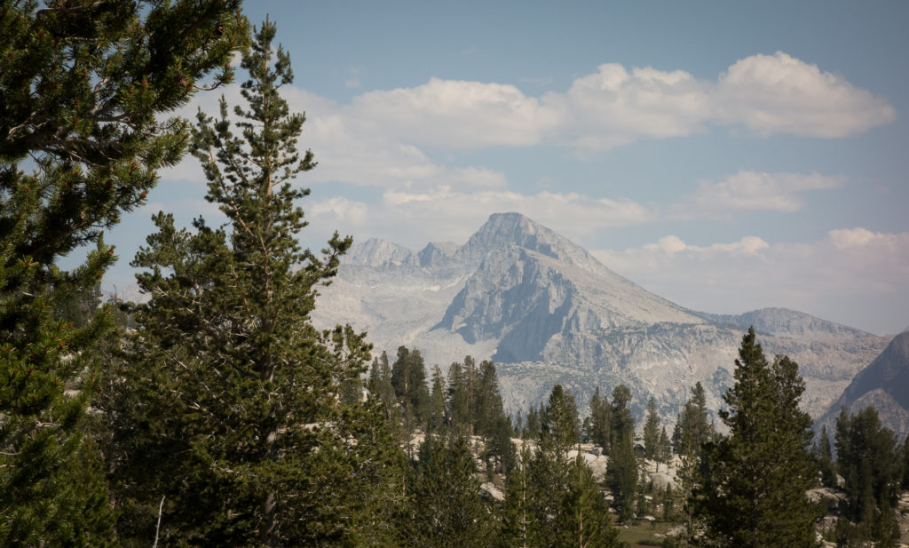
7/29 Pocket Meadow to Heart Lake
16.4 miles
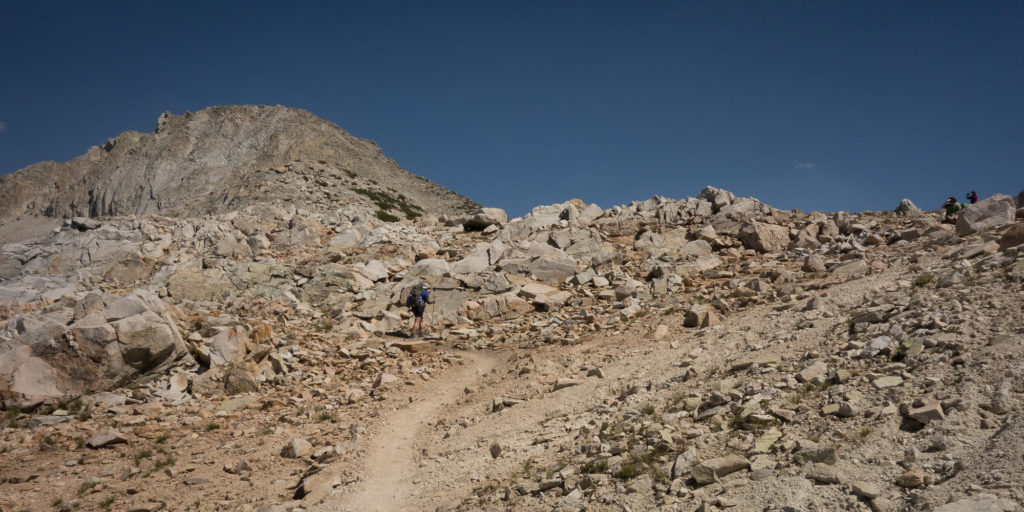
Seldon Pass 10,870′

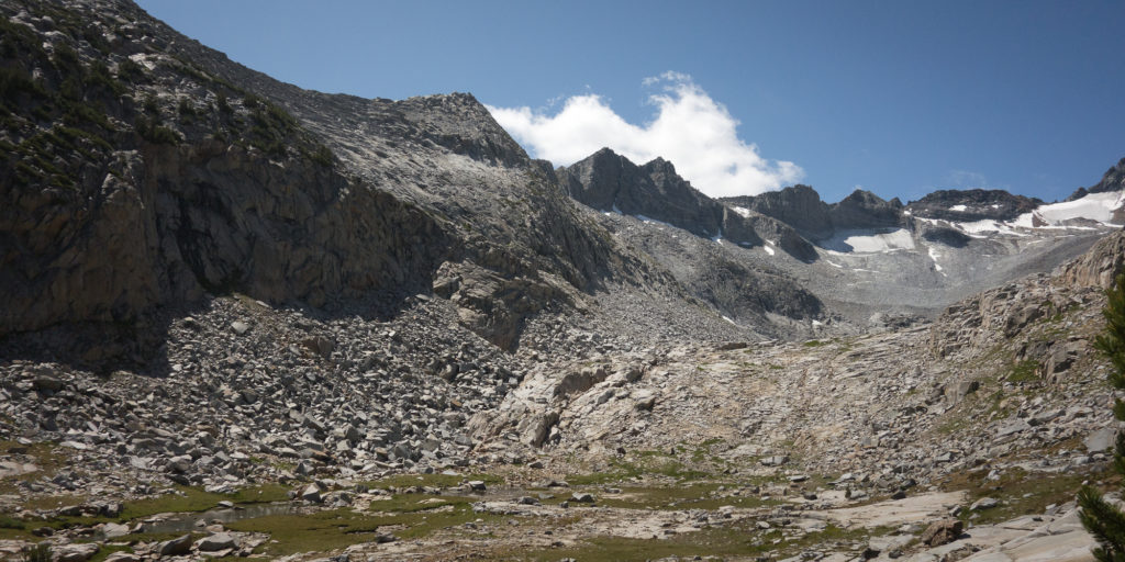
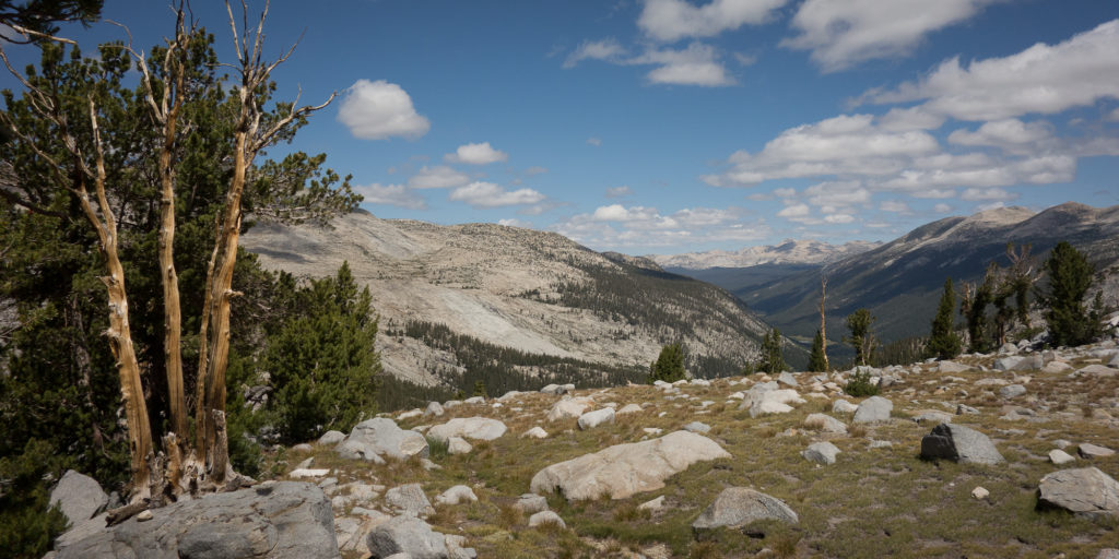
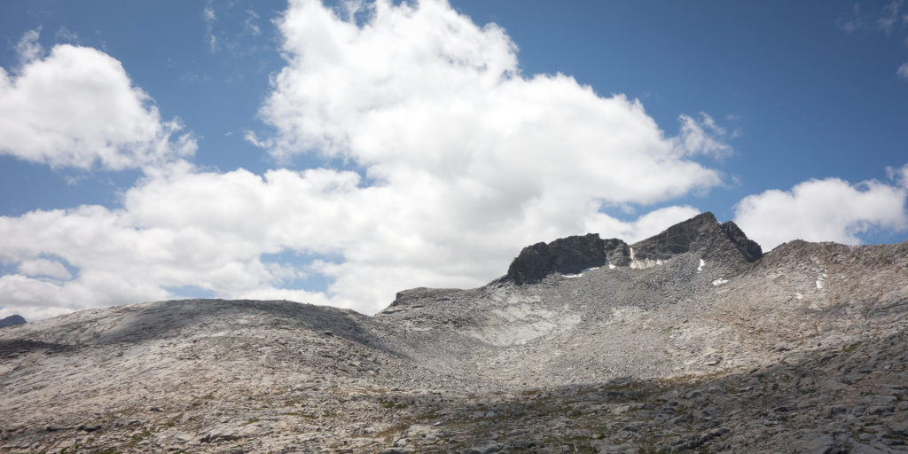
We are almost half way there! Which is incredible because this trail is absolutely exhausting and exhilarating.  We got an early start to make up for the two miles we didn’t do yesterday and managed to be out of camp by 7:45 am! A new record!
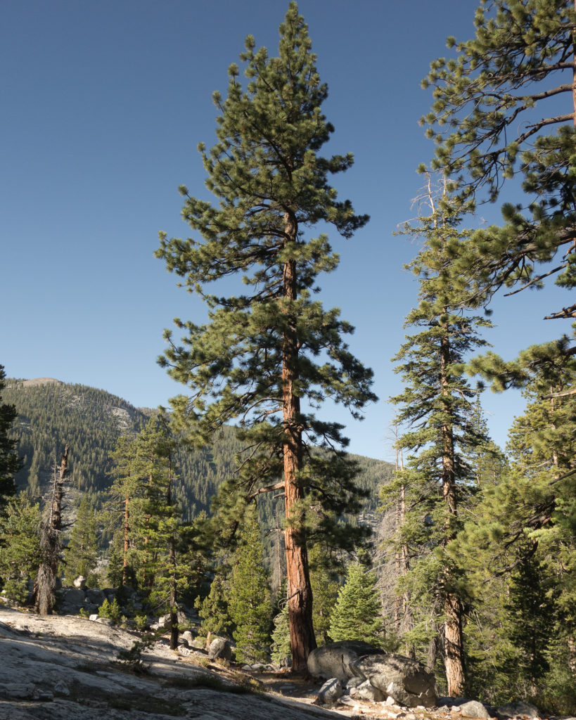
John Muir Trail
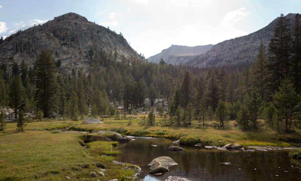
Pocket Meadow

From our campsite we dropped down another 500′ down to Mono Creek to a bridge crossing. The split off for Vermillion Valley Resort was at that crossing.  A lot of hikers do a re-suppy at VVR, we planned ours for the next day at Muir Trail Ranch. There was a friendly ranger there checking permits and bear cans. Thanks husband for taking care of procuring our permit and carrying it 220 miles :).  There was a family whose feet where hurting them pretty bad and they and the ranger were discussing the fastest route off the trail.
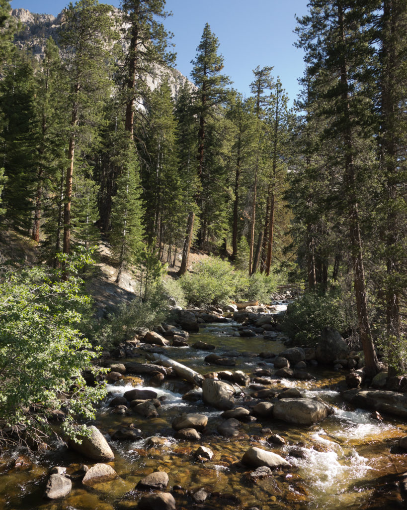
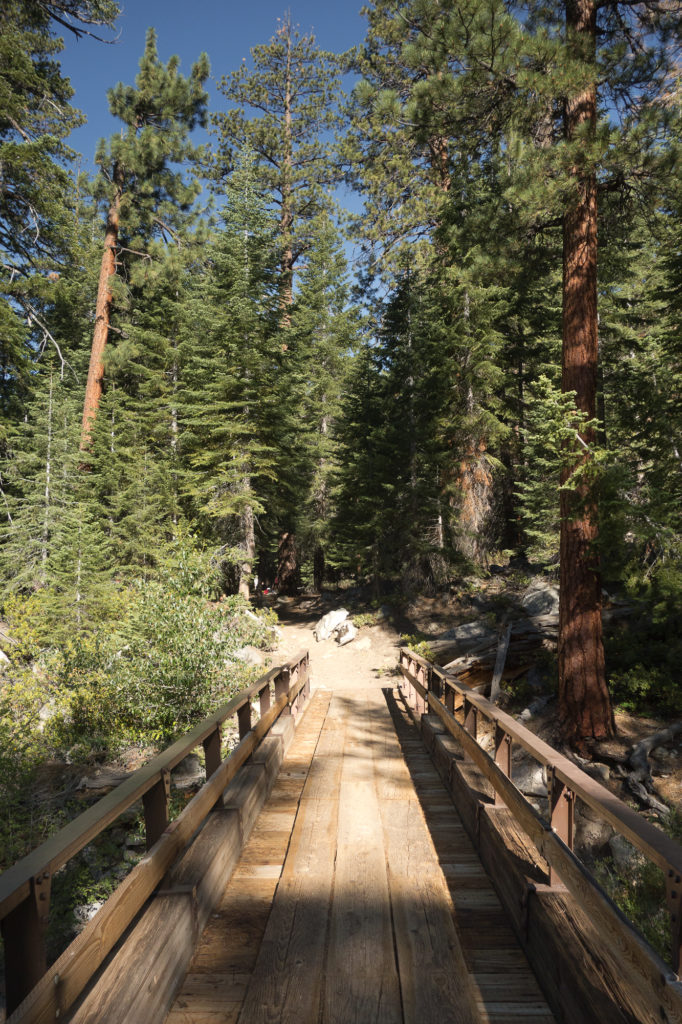
Mono Creek
Mono Creek
Bridge over Mono Creek!


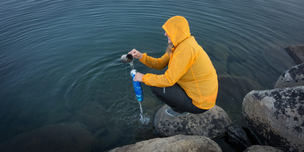
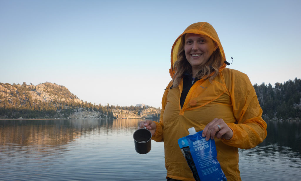
We pumped water and filled up all our bottles and bladders at the creek as the maps said there wasn’t water for the next 6 miles. I managed to drop the cap to one of our water bottles into the creek. Thankfully a kind hiker jumped after it, catching it before it rushed downstream. That would have been really bad to lose the cap to the water bottle. Note to self, bring a back up bottle cap.

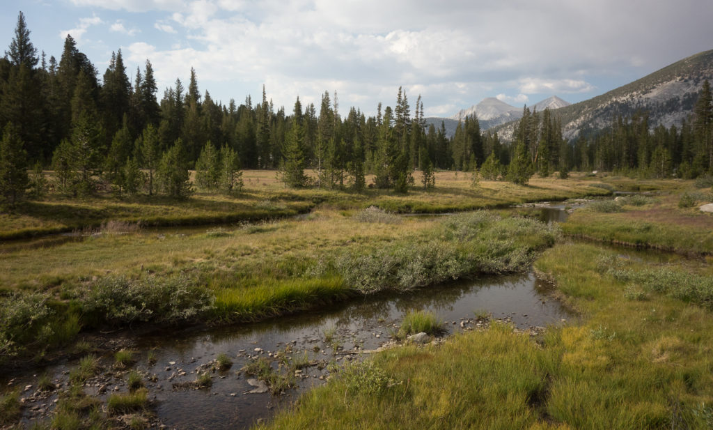
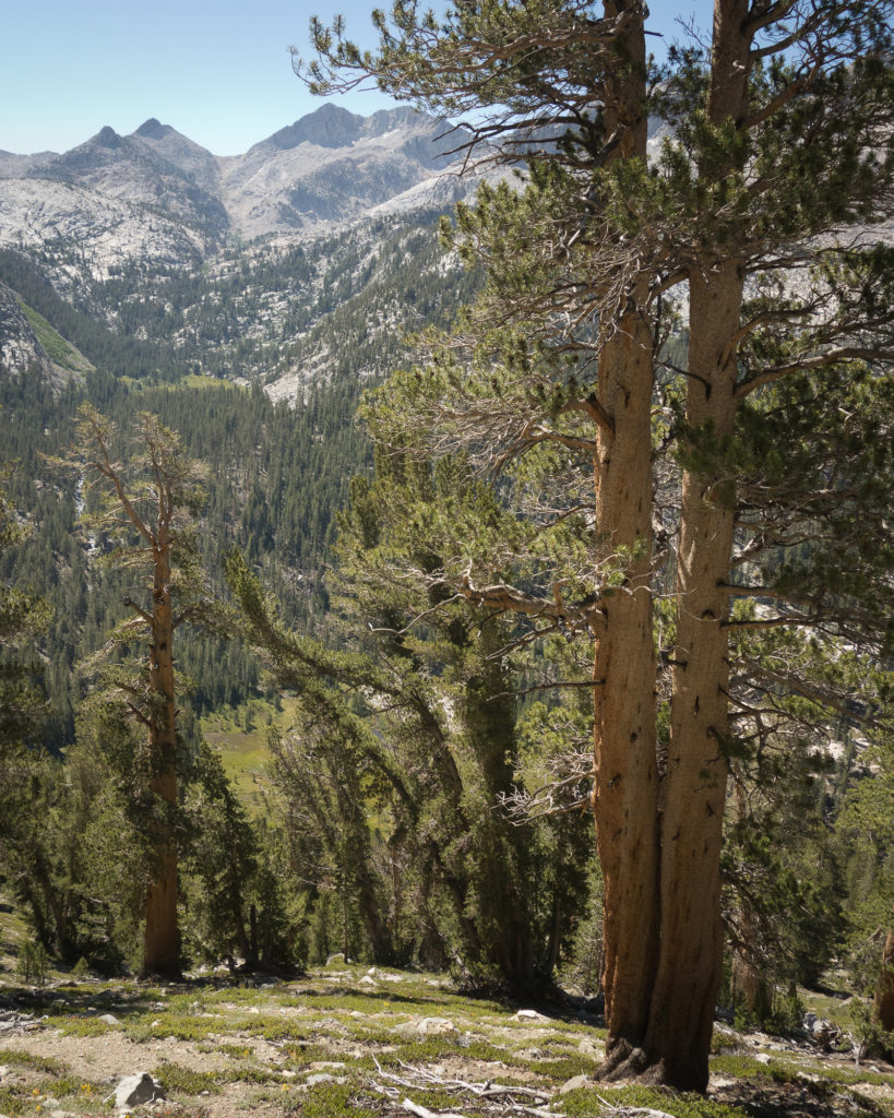
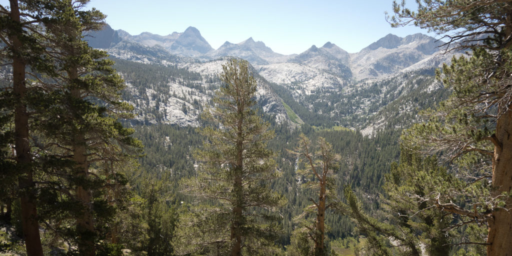
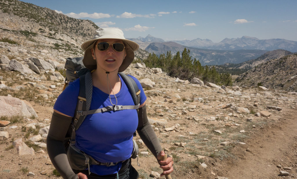
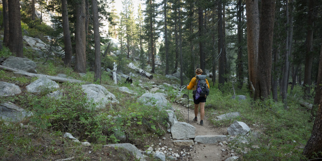
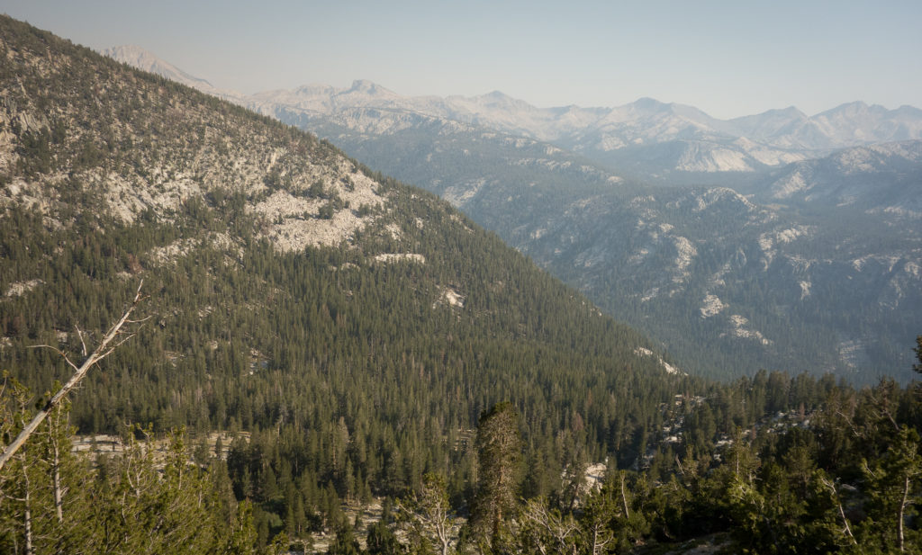
From the creek we started the lovely, long, switch- backing, 2,000′ climb over Vermillion Cliffs. Learning from past experiences we kept the pace slow and steady. Other hikers passed us but that’s okay.
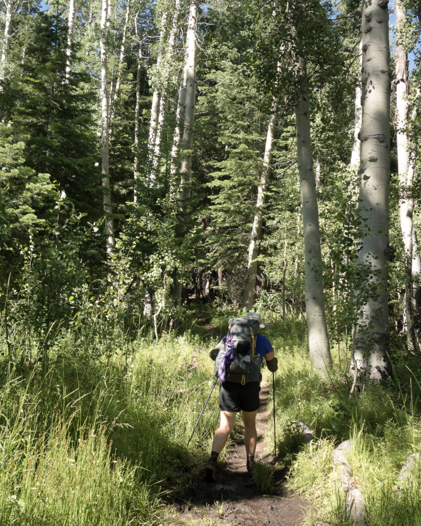
Aspen Forest John Muir Trail
Aspen forest
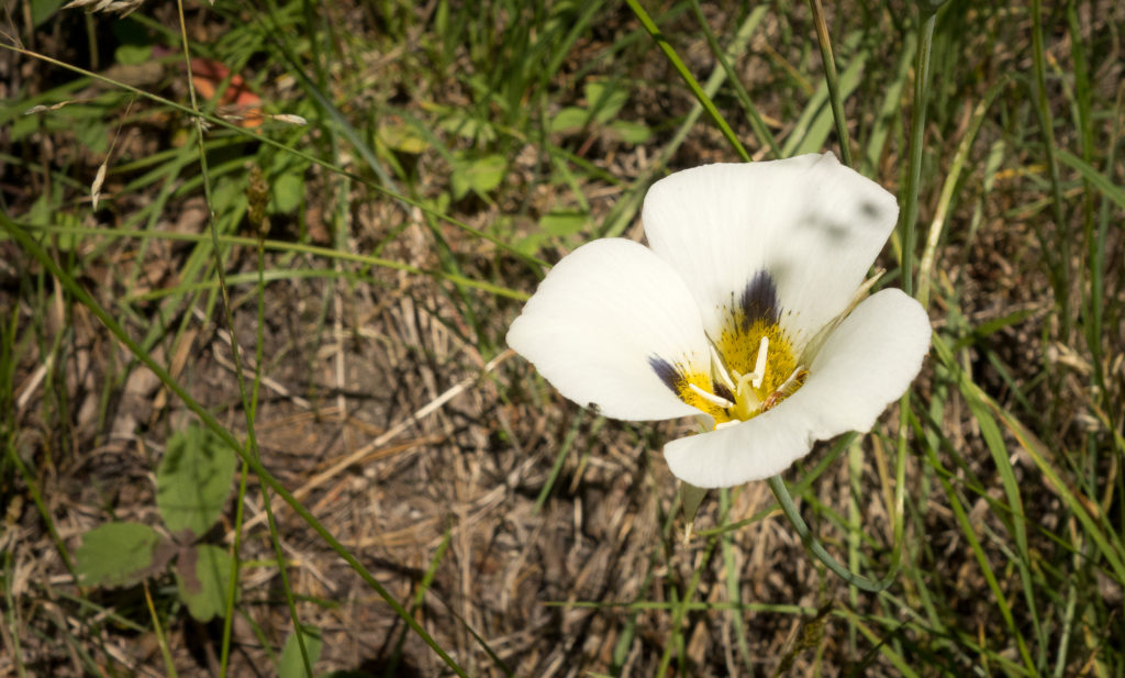
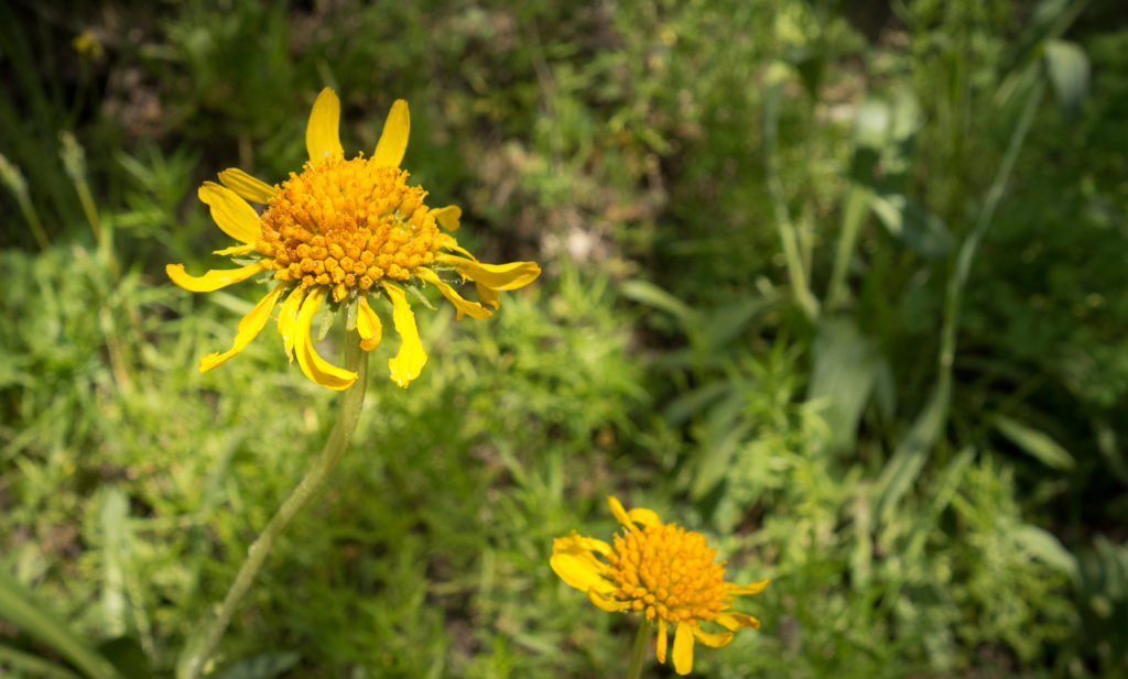
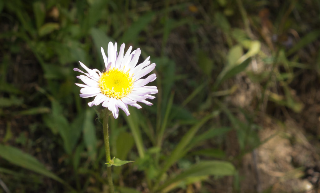
Flowers John Muir Trail
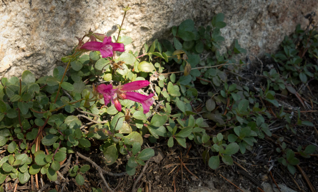
Wild Flowers!
Baslamroot. Sierra Nevada Wildflowers
Sierra Nevada Wildflowers
Tidy Tips. Yes that’s the name, I looked it up.

Once over the 2,000′ climb, we took a water break at the Bear Creek Trail cutoff and chatted with the group of guys that rescued my water bottle cap.  There was a pack of mules that was getting a bit fussy, stomping their hooves and snorting.  The mule team leader explained to us they were fussy because the mules realized they weren’t headed back down the trail to Vermillion but instead on a longer excursion.  I thought that was pretty funny. One more thing about the mules as I haven’t talked about them before.  We encounter at least 1 if not 5 mule teams every day. And they always kick up a ton of dust and leave patties on the trail to step around. Mules are the cadillac of the mountains as I have heard from a number of different rangers and hikers and are used to transport supplies from one high camp to the next. I find it ironic that we are going to great lengths to make sure our excrement gets no where near the trail or water yet the mules just poop right in the stream. End rant.

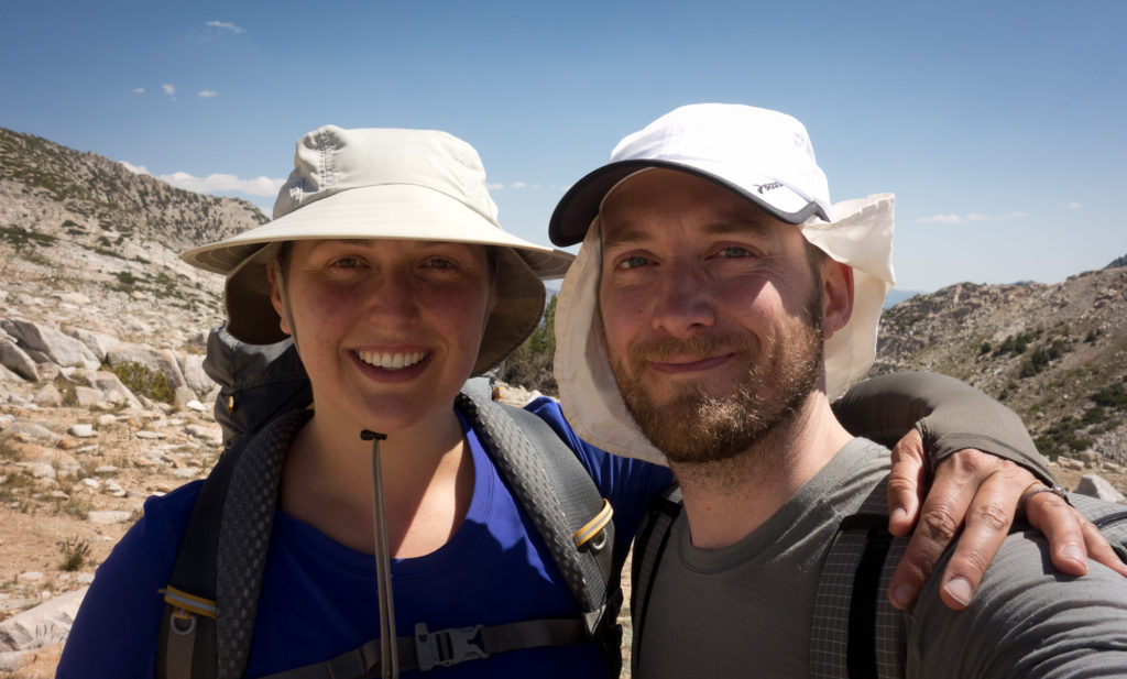
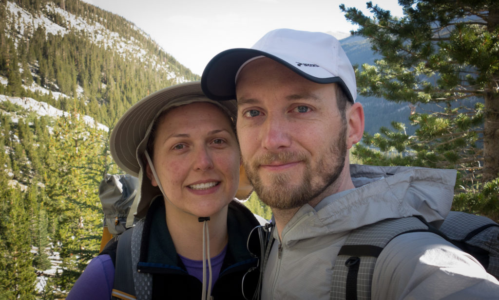
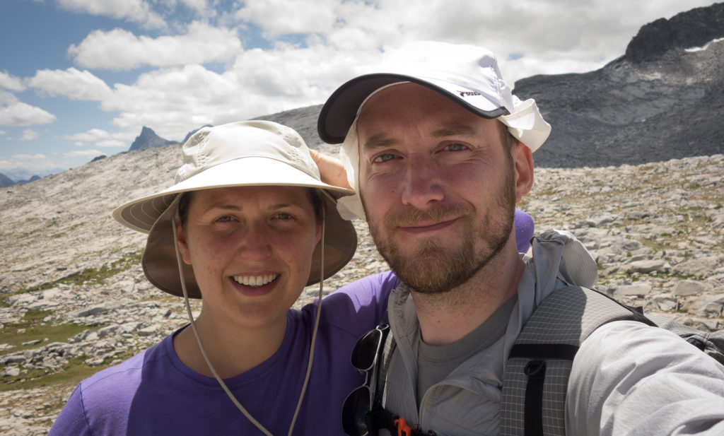
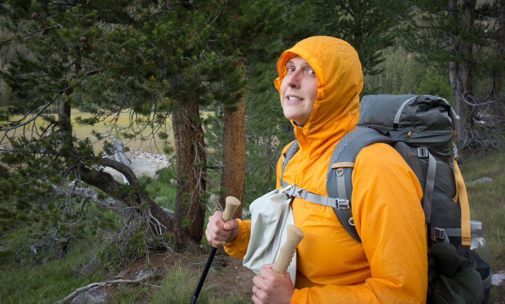
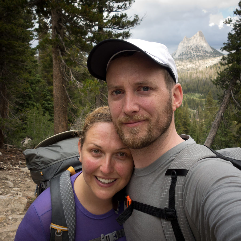
Thanks to the guys we were chatting, with we discovered we had a glimmer of cell service so I turned my phone on to text my family this selfie:
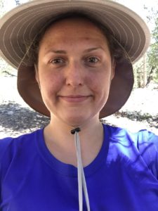
Hiking selfie.
4 days no shower. It only gets worse from here.

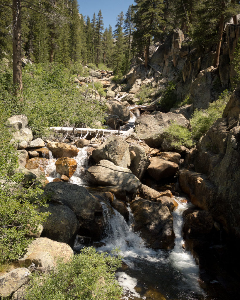
After cresting bear ridge at just shy of 10,000′, the trail drops down the other side of the ridge and runs along side Bear Creek. We took the opportunity to sponge bathe ourselves in the rushing water and dunk our shirts as it was hot in the afternoon.

We ran into one north bound hiker (we are south bound hikers) who was carrying a fishing pole and binoculars. He told us that he was catching fish every night and eating it.  Sounds amazing right!? We didn’t chat too long as the mosquitos were attacking all of us (the pleasure of being too close to water) and we said goodbye and hiked on.

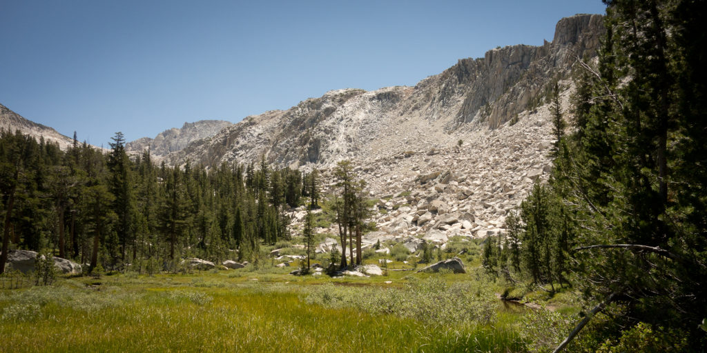
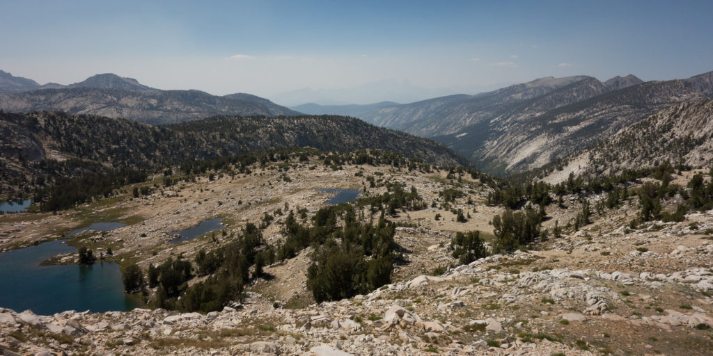
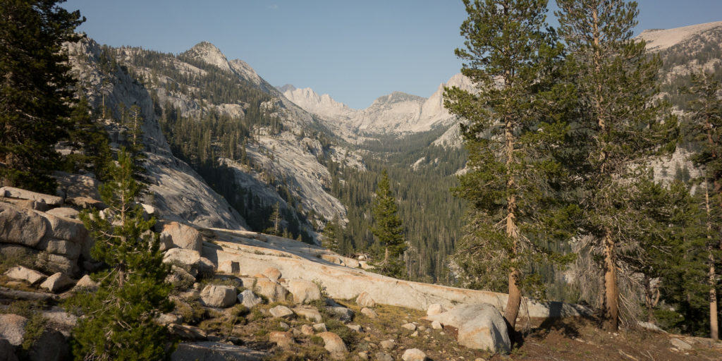
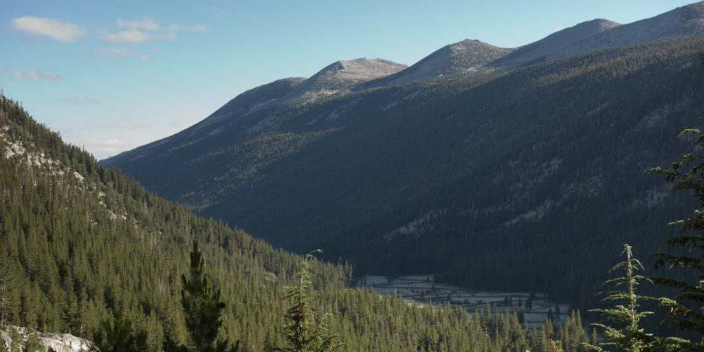
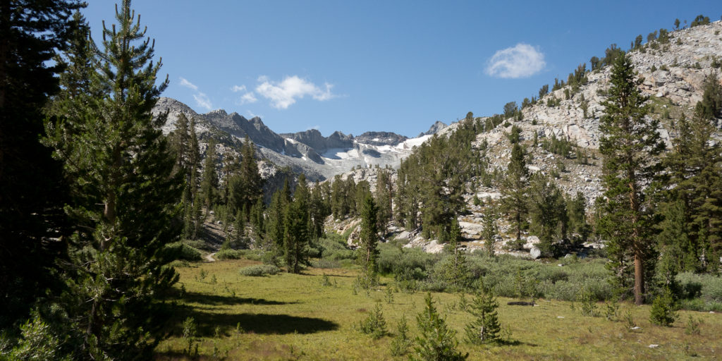
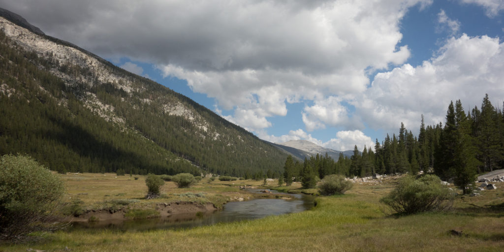
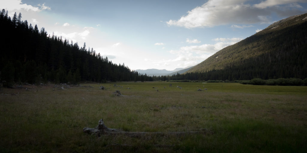
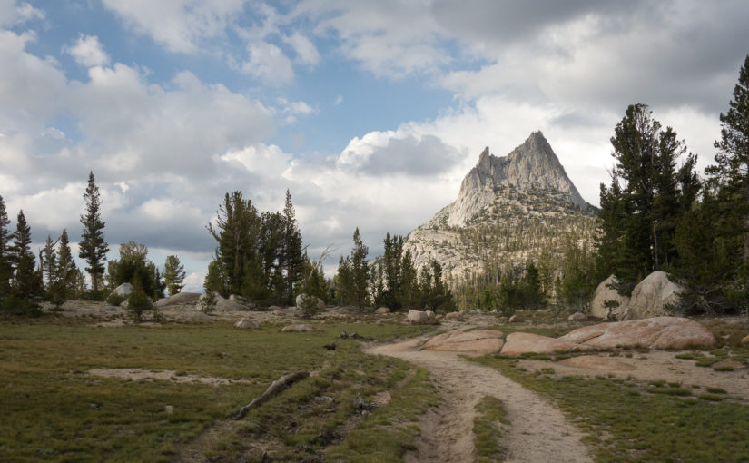
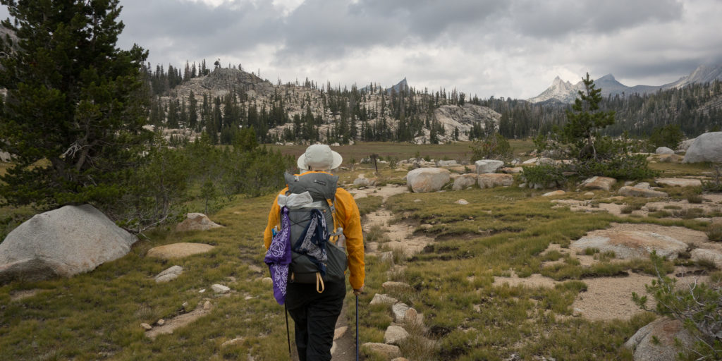
Gaining more elevation, we left Bear Creek behind and the trail opened up to some sweet meadows.
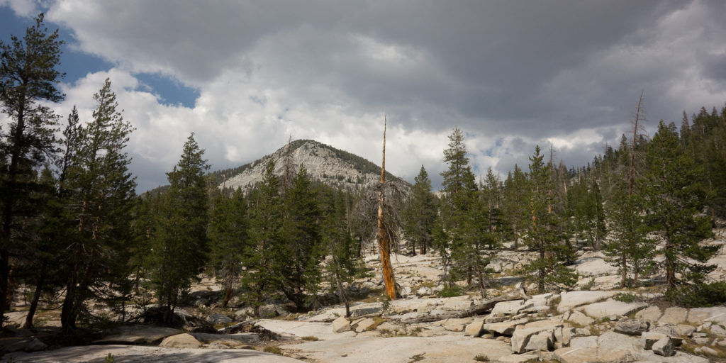
Granite in Bear Creek Meadows
Meadow
Rosemarie Meadow
Meadow
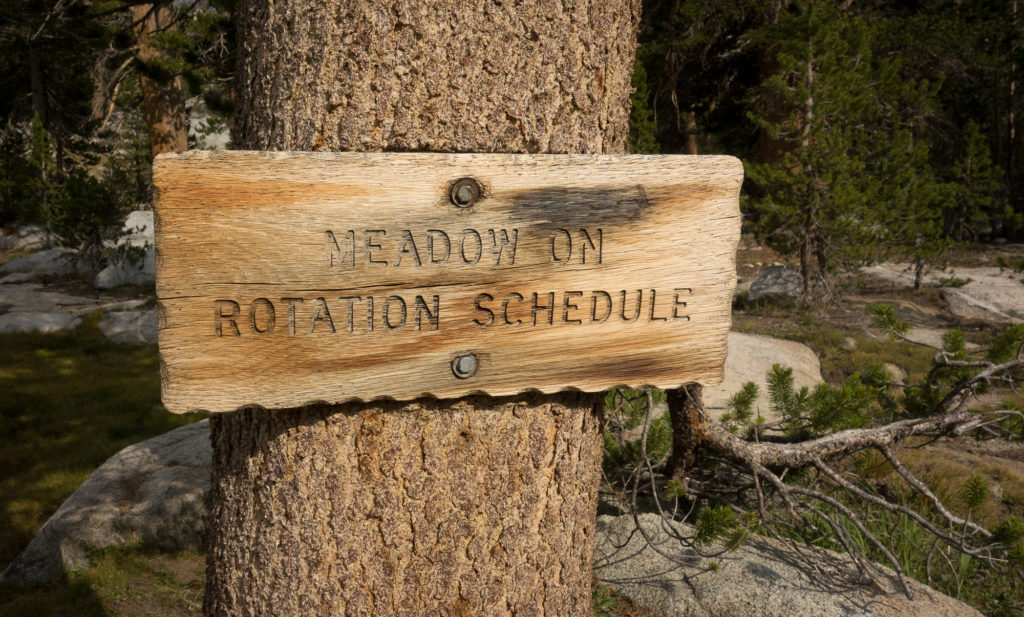
Meadow on rotation schedule. Okay?
Meadow
Rosemarie Meadow


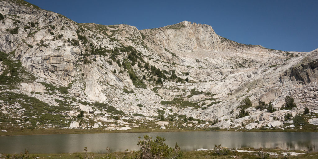
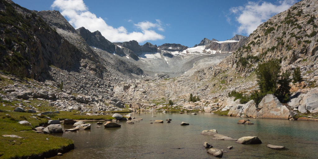
Our search for a good campsite began when we hit Marie Lakes, just shy of 6 pm. The wind had picked up and was blowing us about. Plus it started to rain. We pulled snickers bars out of the bear can and hiked on trying to find a good spot that was out of the wind a bit.  We ran into Dick and Manuela, then a couple hundred feet after, Steve and Emma.  Hadn’t seen either since Red’s Meadow.
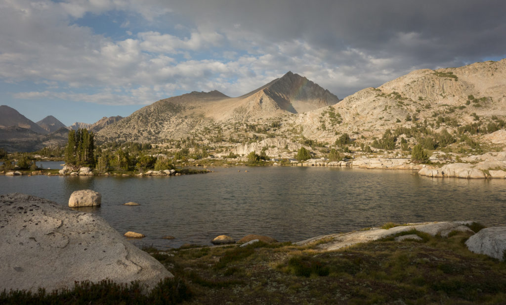
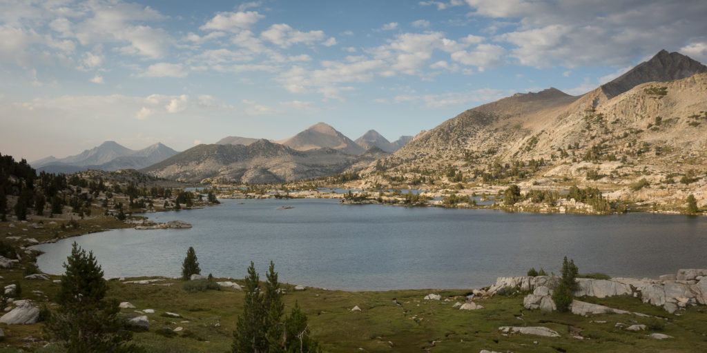
Marie Lake
Marie Lake and a faint rainbow.
Marie Lake
Marie Lake

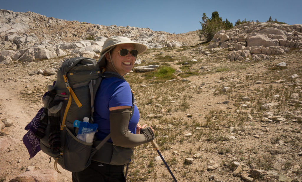
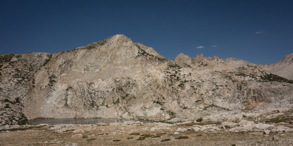
We thought we were going to camp at Marie Lake right before Selden pass. One of us is a bit more worried than the other about lightening strikes up high on the passes so that person insisted we pick up our packs and get over the pass.

At 6 pm in the evening.

Maybe not the best decision we ever made to push over a pass that late in the day but now we are okay, fed, warm, and in our tent. From Marie Lake to Selden pass it was really only 300 more feet of up to make the pass. I am really surprising myself with my ability to keep hiking an clock 16+ mile days.

Selden pass, brought to you by snickers bars, fear of lightening, and adrenaline.

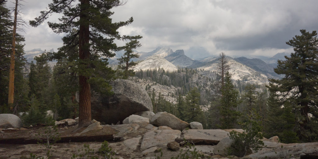
I was cold and wet (sweat) by the time we started dropping down the other side and looking for a camp site.  Next time I want to make a less rash decision as the storm didn’t develop.  We ran into White Wolf again, another dude we hadn’t seen since Red’s Meadow. He pointed out a protected campsite for us up against a large boulder as it was very windy.

Tomorrow we hit Muir Trail Ranch, our official half way point and last re supply.  I’m looking forward to rummaging the hiker barrels and finding goodies.

I hope my feet can keep up though.  My arches hurt and tingle right now.
Day 8 – Pocket Meadow

7/28 – Lake Virginia to Pocket Meadow
12 miles
Lots of elevation

So we didn’t go as far today :).  I credit that to way too much up and down elevation and the fact that I think I cooked myself in the sun going over Silver Pass.

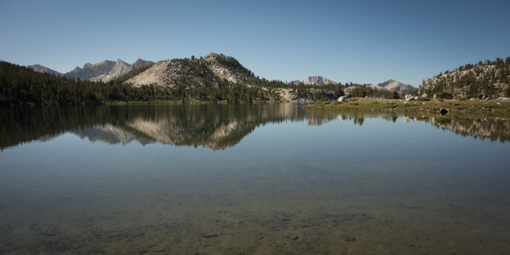
Once again, Lake Virginia was just stunning.  The water was flat and glossy in the morning.

Lake Virginia
Flat water in the morning at Lake Virginia
Lake Virginia
Lake Virginia

After breakfast and packing up, we started our way down to Tully Hole.  Meaning we dropped from 10,330′ to 9,000′ in one mile, only to climb back up to go over Silver Pass at 10,900.  We could see Silver Pass in the distance and I wished for a long glass bridge to span over Tully Hole so we didn’t have to lose and gain the same elevation. Oh well. Such is the joy of the John Muir Trial, go up just to go down again :).

Tully Hole
Headed down to Tully Hole.
Tully Hole
Tully Hole and Silver pass in the distance.

Once we made it down the lovely switchbacks to Tully Hole we followed along Fish Creek amongst small meadows with flowers, pines, and flowing creek. Soon we started climbing again towards Silver Pass.

Fish Creek
Fish Creek

We made it to Squaw Lake by lunch time and found a nice flat rock to set up our cook kit. We were completely exposed that high up so Kevin pulled out his Montbell ultra light umbrella to give us some relief from the sun.  We did a bit of laundry (which we do every day, I just forget to journal about it cause it’s not the prettiest thing to talk about), I drained some new lovely blisters on my toes, taped up my feet, and pumped more water before making the push to the top of the pass.

Silver Pass
Headed up towards Silver Pass
Chief Lake
Lunch spot at Squaw Lake, Silver Pass
Silver Pass
Silver Pass up ahead to my right
Squaw Lake
Looking back on Squaw Lake
Silver Pass
Climbing up to Silver Pass. Other JMT hikers congregated to my right.
On top of Silver Pass
Silver Pass 10,900′! Made it!
Nice hiking outfit.
I think I look like one of the three blind mice with the glasses, sun gloves, and hiking poles.
Silver Pass Lake
Silver Pass Lake looking southbound.
Silver Pass
Headed down from Silver Pass.
Silver Pass
Looking south from Silver Pass
John Muir Trail
Sweet ridge that I can’t find the name of.
John Muir Trail
Mountain that looks really far off but we’ll probably pass it in a day.

After Silver Pass we dropped a lot of elevation, close to 2,000′ to our camp that night. I really think I cooked myself going over the pass in the sun cause I stopped talking (which is abnormal). Kevin noticed and got me to drink a bunch of water. I even managed to get a bloody nose later in the afternoon.

The trail followed Silver Pass Creek for awhile and we had some steep switch backs along side a sweet waterfall which we don’t have a picture of.  We passed through Pocket Meadow which was very cool and filled with loving mosquitos. I think I am up to 50 bites by this point. They love to bite my fingers. Thanks. In case you are curious we opted against DEET and instead wore Patagonia Houdini pants or wind jacket which the mosquitos can’t get through.  I would rather sweat in the wind jacket than coat myself in DEET that really only lasts for 15 – 20 minutes tops before you have to re apply.

Pocket Meadow
Pocket Meadow. Not pictures. Mosquitos.
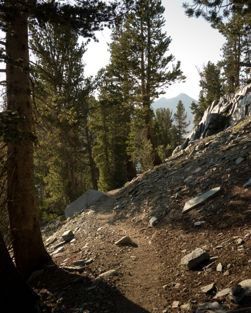
Pocket Meadow
Pocket Meadow late in the afternoon.
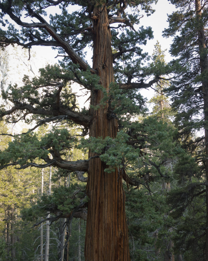
Sequoia Tree
First sequoia spotted on the trip. Means we are further south than before. Which is to be expected since we are walking south.
North Fork Mono Creek
Looking east towards Mott Lake and North Fork Mono Creek

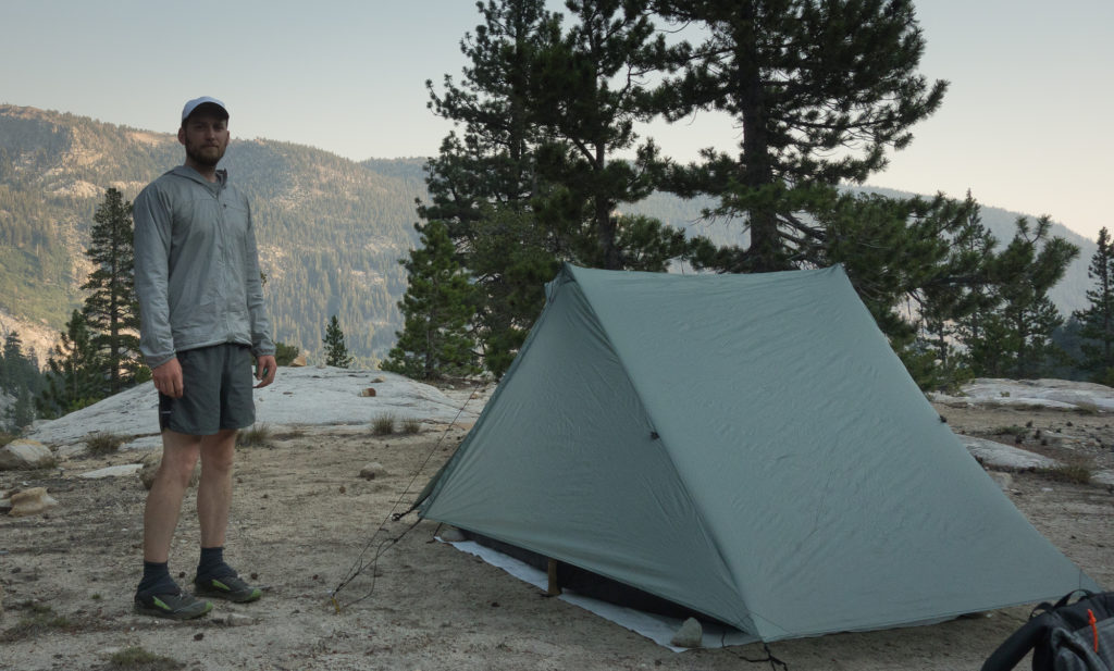
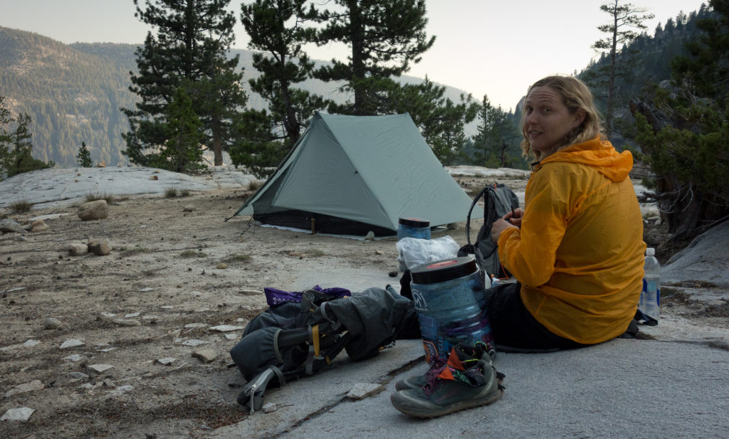
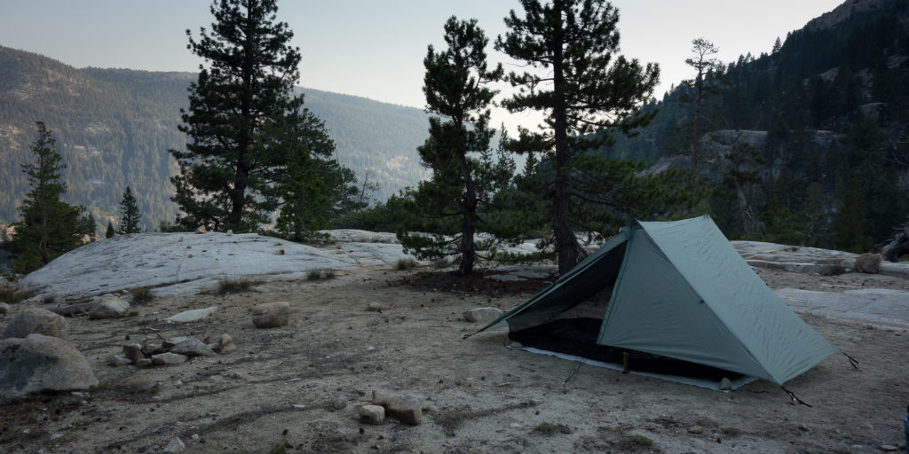
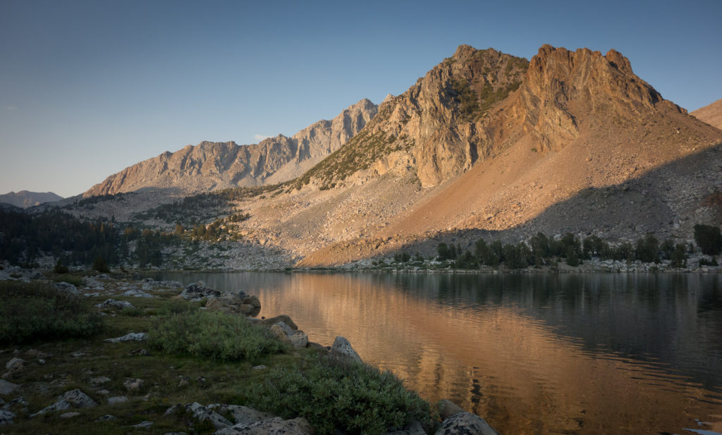
We originally thought we were going to clock 14.8 miles and make to to the Vermillion Valley Resort cut off, but it was getting late in the day and we found a nice bluff to set up home for the night.  We had a fantastic view down into the Valley and the cliffs we were going to climb the next day :).

2015_07_28-026
Home for the night.
Making dinner
Making dinner.
Camp for the night.
Bluff looking towards Vermillion Cliffs
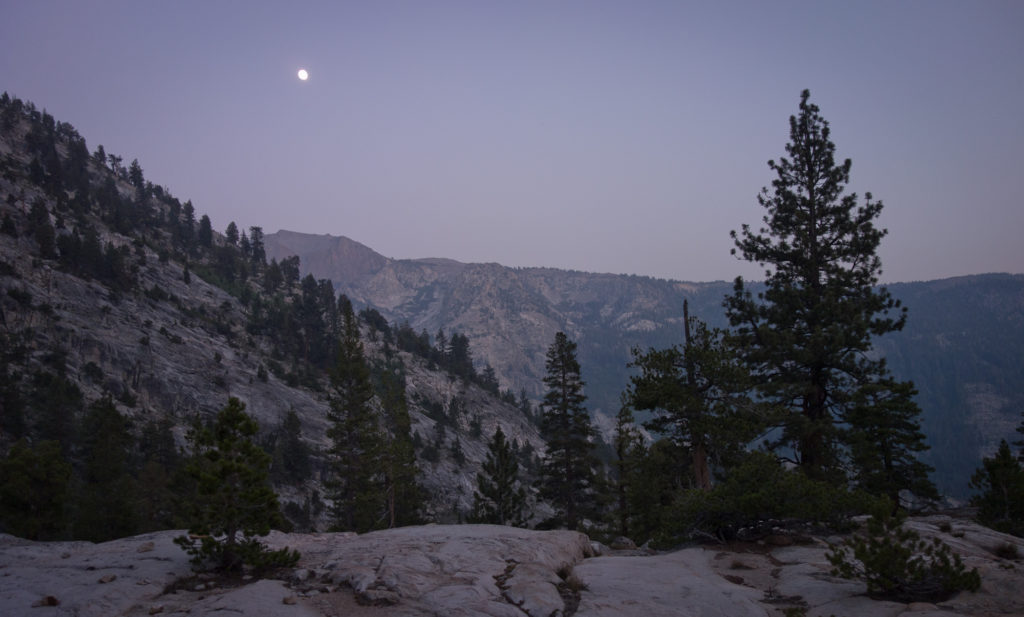
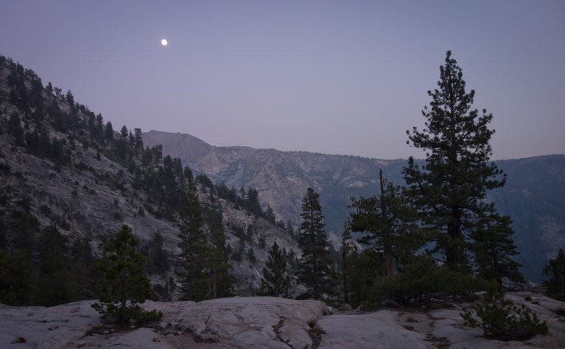
Moon rise john muir trail
Moonrise over Vermillion Cliffs

Day 7 – Lake Virginia

7/27 – Red’s Meadow to Lake Virginia
16 miles and 7,600′ to 10,338

Man we made it really, really far today. Super far considering my calves and feet were killing me two days ago and I had serious thoughts of quitting the trail.  The zero day in Mammoth lakes definitely helped in recouping and relaxing. I’m no doctor but I’m pretty sure I  have plantar facitiis. I get sharp pains through my heels when I flex my feet.  Pretty disappointing as I really did try to train with multiple 15 miles hikes back at home and 5 miles at night during the work week.  The new insoles we picked up in Mammoth are helping. Well, I hope they help. The gear shop in Mammoth was well stocked and everyone was super informative.  I guess they get a lot of PCT and JMT hikers.  They immediately pointed out that I have high arches and pronate my ankles and that my shoes were the right ones for me.  Rather than trying brand new shoes a quarter of the way in, he recommended supportive insoles and to stretch my calves a bunch.  We also picked up a new Snow Peak titanium cook pot, an ursak, and some super sweet sun sleeves.

While the rest day in Mammoth with the soft bed and cheeseburgers was super nice, being in town gave me anxiety. Making decisions about shoes and insoles felt like a life or death situation. Then sitting early this morning in Mammoth waiting for the shuttle to take us back to the trail my heart was racing. I felt like I was wasting valuable time on the trail and taking a day off made me some kind of imposter. Especially since we have so many more miles to cover.

SO it could be the rest day or the new gear but today felt really good.  We covered more miles than ever before and still had time for a good hot lunch and hot dinner.  I can’t believe we covered 16 miles; basically a full page of one of our maps.  The John Muir Trail takes practice in terms of figuring out how to quickly pack up in the morning, do chores efficiently, eat more food in the middle of the day, and when to camel up on water.  Maybe it just took us 7 days on the trail to figure it all out.

The scenery changes with every mile and every pass.  This morning at Red’s Meadow the scenery was a nice pine forest with ferns and flower meadows.  All through Devil’s Post Pile and Red’s there were a huge number of the trees snapped in half and downed.  Apparently there was a giant wind storm in winter 2011. A local told us that “the jet stream touched down” with 100 mph winds. Unsure to the validity of that statement, but it had to be super windy to knock thousands of trees over like match sticks.  We passed a couple cinder cones and climbed steadily for 4 miles crossing over Crater Creek a couple times and getting a fantastic view of Cascade Valley.  We climbed some more to Duck Lake outlet and chatted with a mom and her two young daughters resting and soaking their feet in the cool water.  They were going about 7 miles a day, so half our pace. She went to Bishop O’Dowd so we played the “do you know so and so” name game. They were wearing big boots and were suffering from some giant blisters on their feet.

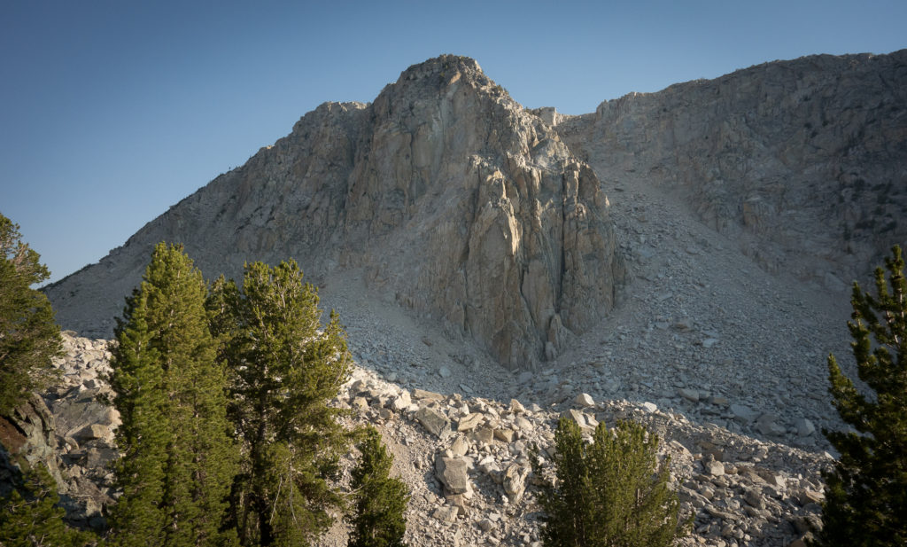
We soon made it to Purple lake were a lot of people were setting up camp for the night. It was only 4:30 at that point so we decided to push up a little higher to Lake Virginia at 10,330. This was one of my favorite campsites of the trip. The climb between Purple Lake and Lake Virginia went past a no name 11,000 foot peak with a giant moraine with boulders actively tumbling down the side. It’s a pretty cool sight and sound to watch giant boulders just rolling down and bouncing around.  Plus, gotta love that there are 11,000 foot peaks with no name.

Tomorrow we go over Silver Pass at 10,900!

reds cone
Red’s Cinder Cone
crazy downed trees
Downed Trees near Red’s Meadow


Climbing out of Red's Meadow
Climbing out of Red’s Meadow


2015_07_27-004


2015_07_27-005
Looks like Glacial polish to me


2015_07_27-007
My camping buddy
2015_07_27-006
Feeling clean and rested


Sierra wild flowers
Sierra wild flowers
2015_07_27-010
View of Cascade Valley
The climb between Purple Lake and Lake Virginia
Unnamed 11,000' peak with big ol' boulders
Unnamed 11,000′ peak with big ol’ boulders
Moon rise over Lake Virginia


Lake Virginia
Dang that’s pretty. Lake Virginia
Filtering water
Pump water or DIE.

2015_07_27-019

2015_07_27-020

Day 6 – Mammoth Lakes

7/26 Mammoth Lakes

We took a zero day.  That means we didn’t do any miles on the trail. We hadn’t planned on taking a day off the trail, but between the burned cook pot and my cramping feet and calves we decided to go into town.  We had a leisurely morning at Red’s Meadow.  Ate breakfast with two JMT hikers, one from Germany and another that went by the trail name White Fox (we don’t have trail names yet). The German hiker was lamenting that in America we make all sorts of accommodations for camper vans and people wishing to visit the outdoors in their giant trucks but if you are a hiker and just want to pitch a tent you are looked down upon. He had a point. All the hikers were squished into a spot of dirt no more than 1,000 square feet and we were surrounded on all sides by trucks and RVs. I think it may have something to do with American towns wanting to cut down on vagrants or transients so there are laws about when and where you can pitch a tent.  White Fox gave us some tips on rubbing your feet with olive oil to stave off blisters.
After packing up our gear, we headed up the hill to the Red’s Meadow main general store to pay for a real shower and pick up our re-supply box. The shower felt very odd. My skin was super tight and almost painful from the soap. I guess an odd outcome of not showering for 6 days.

Emma and Steve walked into Red’s around noon and soon after Dick and Manuela showed up.  They must of camped at one of the upper lakes and didn’t push for a crazy 16 mile day like we did.  They all looked a bit dusty from the downgrade into Red’s Meadow. Emma and Steve planned far ahead and actually had a room booked at Red’s Meadow. Steve was dreaming up the cheeseburger and milkshake they were going to eat at the cafe.

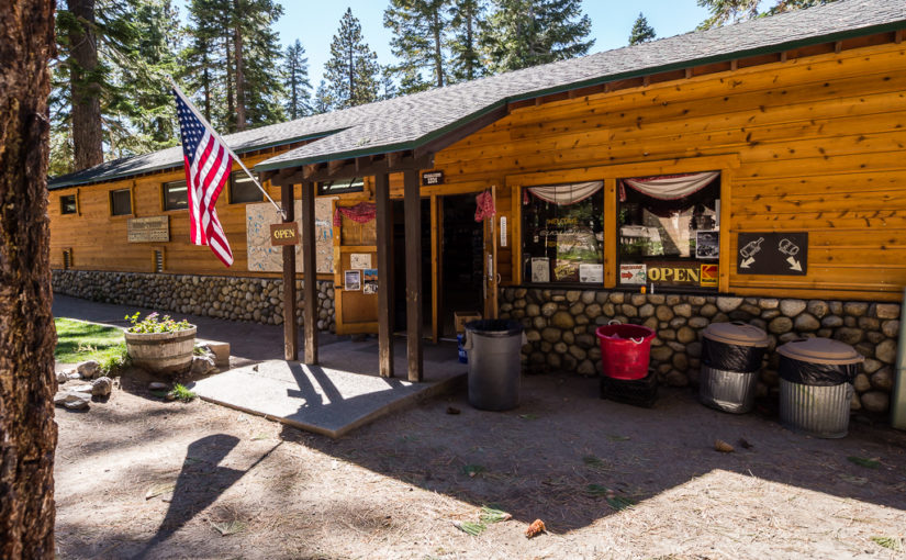
In addition to the general store with all kinds of goodies like chapstick and bandaids, there are hiker bins were people dump stuff that they can’t fit in their bear can.  I fished out more Dr. Brommer’s soap, crystal light drink mix, and batteries for our tiny Sony camera.  Kinda funny that there were the perfect batteries for free as I spent $14 bucks at CVS picking up extras.  I repacked our bear cans (for some reason I have better spacial capacity planning abilities to shove everything in there) and hopped on the shuttle to head into Mammoth by around noon.

The shuttle dropped us off literally in the center of a summer festival. I think it was called brews and blues, complete with a B-52 cover band. The crowds, sounds, and smells were jarring to say the least.  I felt super weird to be wandering around the festival with my pack on, in my gaiters, and hiking poles.

After making a couple phone calls to different gear shops to see who carried SnowPeak, we took another shuttle to Mammoth Mountaineering Shop to pick up a new cook pot.  I also tested out new shoes.  My calf pain has grown into full blown plantar fasciitis with sharp shooting pains through my heel when I stand up for the first time in the morning.  YAY! Honestly, I don’t think any amount of training would of staved off an injury. Apparently I pronate A LOT and my feet are just wiggling around. The guy at the shop recommended a more supportive insert and to not switch out shoes mid way through the hike.  He could see the anxiety on my face as I tried on different shoes and talked me out of switching and risking crazy blisters. We also picked up a kevlar bear bag to use after our second resupply in Muir Trail Ranch as we are worried about fitting 12 days of food in our bear cans, they are rated to hold 8 days of food :).  We probably spent close to $200 at the gear shop; I really should tally up how much we’ve spent on gear for this trip, but it’s a vacation, right??

We took the shuttle back into town to find an early dinner. As we wandered around the square a woman came right on up to us and asked if we were hiking the PCT. She was a “trail angel” and wanted to make sure we had a place to sleep.  It was super sweet of her.  We found a brewery style place for beer and sliders settled in for a relaxed meal. Kevin pulled out all our maps to review the terrain ahead and the waitress commented that she’s climbed Mt. Whitney a couple times. She said she typically starts her hike at midnight, makes it to the summit by dawn and is off the mountain before any rangers can stop her to check for her non existent permit. She also recommended a couple side hikes to hot springs. Sounded amazing, maybe next time we do the JMT.

So now we are holed up in the Mammoth lodge in an extremely comfortable bed.  We did our laundry in the sink and took another shower. When I dried myself off with the towel I was still able to wipe dirt of my legs. Amazing.


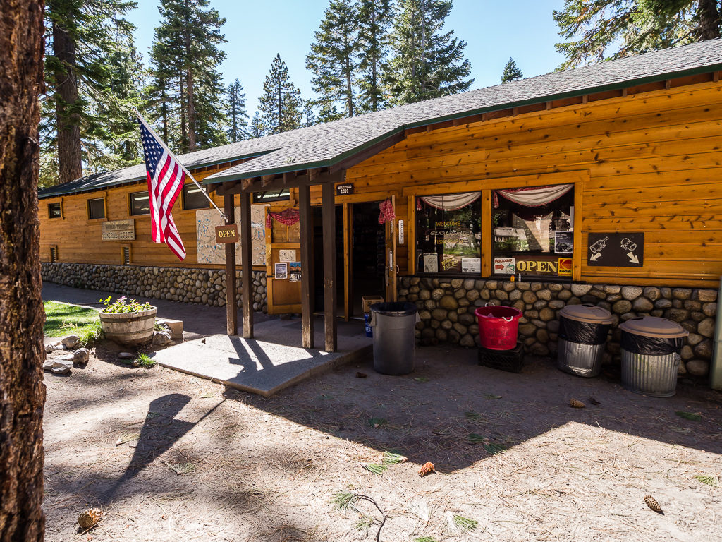
Red's Meadow Resort
Red’s Meadow Resort
Hiker Bins
Hiker Bins aka free goodies.
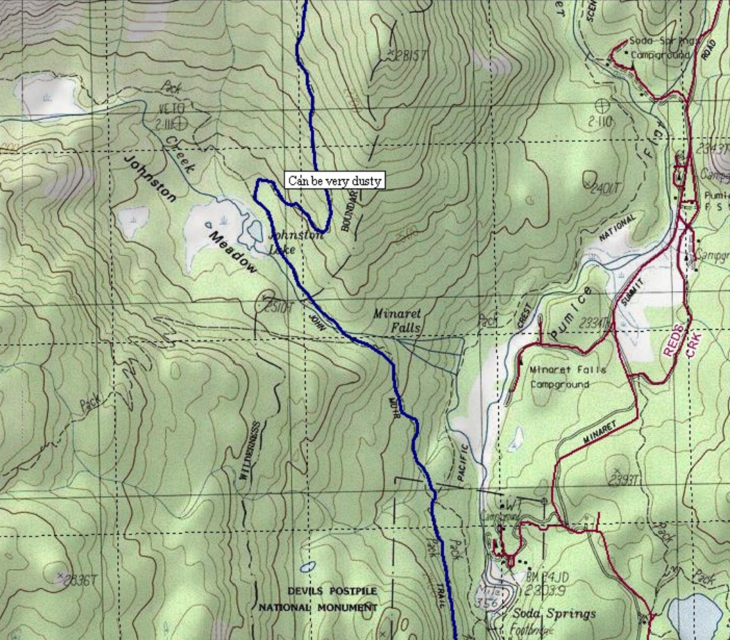
"can be dusty" thanks
Thanks for the warning map. “Can be very dusty”.


Day 4 – Ruby Lake

7/24 – Lyell Canyon – Ruby Lake
11.5 miles and two passes.

Today was less miles today that I had hoped for, but we made it over two passes! Donahue Pass at 11,050 and Island pass at 10,200.  The next higher pass than Donahue isn’t until Muir Pass much later in trip.  We’ve gone a total of 43 miles or so. This is an adventure full of ups and really big downs.  I felt strong going over Donahue and really happy that we had literally walked through Yosemite National Park and into Inyo Forest.

We started the day just below Donahue pass along side Lyell Creek near where the water fall from Kuna Creek comes in.  We packed up early and opted to have breakfast after a mile or so on the trail.  We found a nice shady spot for breakfast and did some laundry. Socks and undies!  Also, I’m getting pretty good at digging cat holes.  Sorry for the TMI but it’s part of the experience!

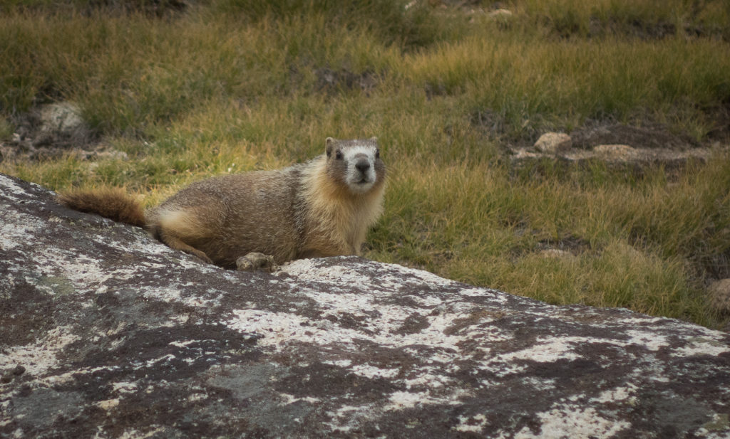
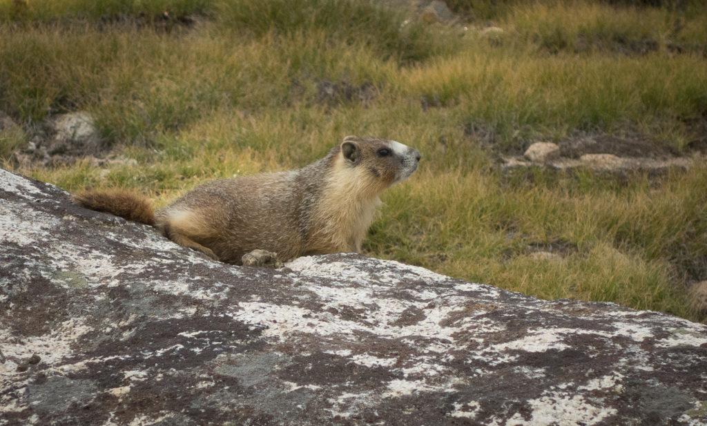
Lyell Canyon quickly disappear behind us and the scenery changed to switchback and lodgepole pines.  On our way up the switchback we encountered two women that were hiking the JMT south to north (most go north to south). I asked them if they had seen any pikas yet and they exclaimed that they had no idea what a pika was but had seen hundreds of marmots. They also taught me the practice of naming marmots with hillbilly names like Cleetus or Billy Bob as marmots look rather hillbilly. They do! So from this point on Kevin and I began the practice of naming every marmot we saw A-Z.  We retroactively named the one we saw yesterday Abel.

The trail opened to a couple bench lakes and crossed over the creek a couple times.  The mountains were jagged teeth dotted with snow high up.  We even heard a couple rock falls.  There were a bunch of people on top of the pass so we took a quick picture and started hiking down for another hour or so to find a good lunch spot.  I’m still having a hard time putting food in my mouth.  Perhaps it’s because lunch is nothing but Clif bars and salami, but we are barely eating half of what we budgeted for each day.  The lack of food is definitely contributing to my mood.  I seem to bonk every day.  Going over Island pass I think I twisted my ankle and then my calves cramped up majorly from all the climbing so I slowed way down the last couple miles making us stop at Ruby Lake rather than going on to Garnet.  The pain and cramps really got me down and I’m starting to doubt I’ll be able to do this trail.  I think we just didn’t give ourselves enough time. 13-15 mile days are a lot. Most folks go 10-12 miles a day. We seem to be getting into camp around 6 pm every day and barely enjoying the views.  Kevin and I agreed to evaluate how my ankle feels tomorrow after a good night sleep.

Oh and in the process of cooking dinner I swatted a mosquito and managed to knocked my meal into the dirt and burst into tears.  This after the night before last where Kevin burnt dinner.  So, not the best evening but I guess it is all part of the adventure.

In positive news we saw our first official pika and a bunch of marmots.  Able, Billy Bob, Cleetus, Dale, Earl, Francine, Garth, Herman, Ignatius, Jesse, K.C., and Lyell were all spotted today.

Tomorrow Red’s Meadow!

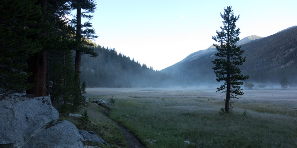
Lyell Canyon
Early morning fog in Lyell Canyon
Lyell Canyon
Gaining some elevation. Looking back north on Lyell Canyon.
John Muir Trail
Day 4 with no shower. We look so clean.
Donahue Pass, John Muir Trail
First peak at Donahue Pass
Lyell Creek
Trail crosses over Lyell Creek to the right, then back again to the left atop that bench.
Donahue pass
Donahue pass is up and to the left.
Yosemite
Looking north back towards Yosemite.
On top of Donahue Pass, Yosemite
Made it! 11,056′. NBD. Not pictured: snickers bar.
Mt. Lyell
Mt. Lyell in the distance.
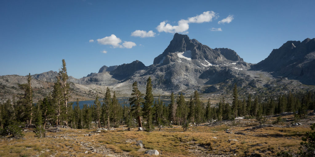
Thousand Island Lake and Banner Peak


Day 3 – Lyell Canyon

7/23 – Upper Cathedral Lake to Kuna Creek in Lyell Canyon.
15 miles

Today was a lot of things.

Today was our first 15 mile day on the trail.  I’ve done 22 mile days, but never with a full pack on.

Today was also the first time I saw a marmot. We named him Abel.

AND today was the day that we burned our Snow Peak titanium cooking pot. I think we totally ruined it. More on that later

So today we woke up around 6:30. Kevin slept poorly so we snoozed a bit.  The tent was soaked. We camped close to the Cathedral Lake as it was pretty but made everything damp.  Lesson learned.  Lakes = morning moisture. So it took us a bit longer to pack everything up as we wanted to let the sunlight hit and dry out the tent before cramming it into a bag. We started down from upper Cathedral Lake around 9 am. It was downhill all the way to the Tuolumne Meadows Grill.  The sound of cars and the day hikers coming up the trail was a bit jarring.  Turns out it takes a long time to get through the meadow. Almost three miles just to get to the store.  Originally, I thought I would want to eat a cheeseburger and fries when I made it to the grill, but when I got there I had no appetite.  Kevin went into the store and bought us 3 bananas, a green apple, and sweet iced tea.  We hung out on the picnic tables outside and received some great advice from a long time JMT and PCT hiker.  He said slow and steady is the way to go.  Keep your heart rate below 120 BPM and you can make it up any mountain. Good advice dude!

From the grill, we pushed on to get out of Tuolumne and the crowds and make our big right hand turn to start actually head south into Lyell Canyon.

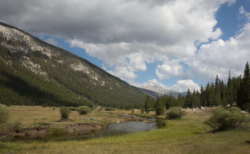
The canyon is really lovely.  It is a long slow incline up and runs along side the creek. We spotted our first marmot hanging out on a rock. They just sit on rocks, sunning themselves.  Not sure why they do that but it is dang cute. We ran into a group of hikers headed up to one of the high sierra camps

We decided in an effort to clock more miles that we would eat dinner early along Lyell Creek in the canyon around 5pm and then keep going for another hour or two before setting up camp for the night.  We headed down towards the creek to find a nice spot for dinner and to pump water.  Sadly, the mosquitos were also down by the creek. Another lesson learned.  I think I’m up to 20 bites now and it’s only day 3. So we start setting up to make dinner and I’m busy swatting mosquitos away and tying the bug net tighter on my head (how do they still get inside the bug net?) and Kevin asks me how much water to make the meal. I say a cup and 3/4 which is the amount for one packaged meal.  He has two packaged meals in the pot. We soon notice white smoke and a burning smell emerging from the pot.  It burned so fast!  We really tried hard to salvage the dinner by picking out the burned chunks but it tasted just awful.  It was supposed to be Mexican style beans and rice with tortilla but it seriously tasted like a cigarette butt. I managed to stomach a couple bites because I knew I needed the calories and we have been eating far less than our allotment because we just don’t feel hungry.  I feel exhausted at times and bonk going up hills but my stomach just isn’t registering hungry.  We decided to trash what was left of dinner (means we have to carry it till Red’s Meadow) and eat Snickers and tortillas for dinner. Oh well.

As the sun started to set we met a couple from Oregon, Manuela and Dick. It was their first day on the trail as they came in at Tuolomne Meadow.  Turns out the Happy Isles permit was hard to come by! We then passed a big group of Sierra Club hikers and I grumbled to Kevin how annoying Sierra Club people are, hiking in giant groups, taking up all the good camp sites, and then Kevin informed me that we are Sierra Club members. HA!

At this point it was getting on in the evening, close to 7 pm and it seemed all the good campsites were taken. Kevin had downloaded an app on his phone that pointed out all the good campsites. Thankfully we were able to climb up the side of the hill a ways and find a spot for the night.

Tomorrow Donahue Pass and Island Pass!

Why are you so fuzzy!
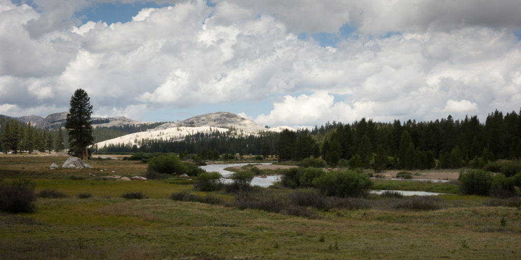
Tuolumne Meadow and view of Lembert Dome
Tuolumne Meadow
Tuolumne Meadow
Our first Marmot! His name is Abel
Hi Marmot.
Hi Marmot.
Lyell Canyon looking north
Hiding from the mosquitoes. Patagonia Houdini jacket actually very useful in this pursuit.

Day 2 – Cathedral Lakes

7/22 – Little Yosemite Valley to Cathedral Lakes
12.5 miles

We only hiked 12.5 today but by golly that was hard!  We started the day at 6,140 feet in Little Yosemite Valley and went over Cathedral Pass at 9,700.  That’s over 3,600 feet of gain today.  Honestly, it really sucked in some parts. I’m still getting used to the elevation.  Kevin made us press through our designated lunch time stopping point to try and get over the pass as we were scared of thunderstorms. There have been storms in the afternoon the past two days and the clouds sure looked like they would break and dump on us.  We got a bit of drizzling through out the day, but no thunder strikes.  We probably made it over the pass at 4pm.

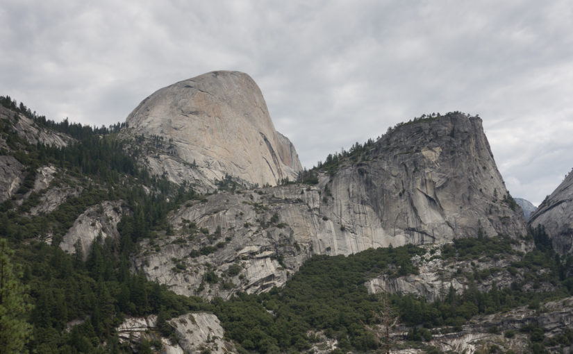
After climbing out of Little Yosemite Valley and splitting off from the trail to Half Dome, we gained 1,000 feet in the first mile and a half.  We got up on top of a plateau and were able to see down on to Bunnell Cascade and the path we took last October to Merced Lake high sierra camp.  We were much, much higher up than that trail.  Helps to put things in perspective.

The food so far has been pretty good.  Oatmeal and coffee for breakfast.  Salami, tortillas, and cheese for lunch.  2 Clif bars a day and potato bark beef and vegetable stew for dinner.  The dehydrated meals were worth the weeks of snackmastering prep work and extra money.  I don’t think we saved any by not purchasing Mountain House meals, but at least we can control what goes in our meals and they taste home cooked.

So far we have met 5 other JMT hikers.  Steve and Emma from MA, they stayed in Sunrise Camp.  Karl from Belgium and two younger girls that camped with us at Cathedral Lake.

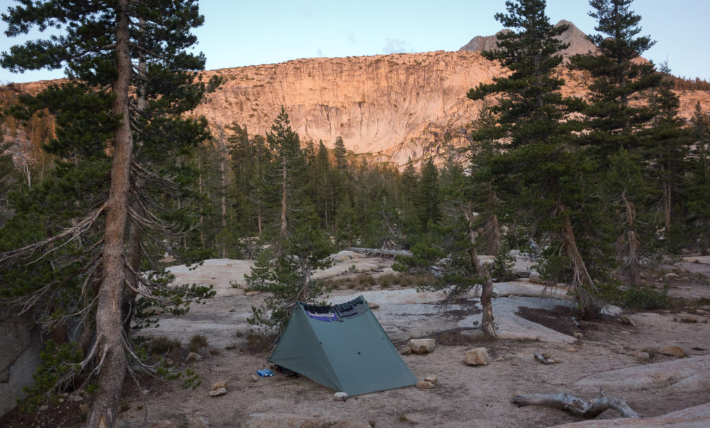
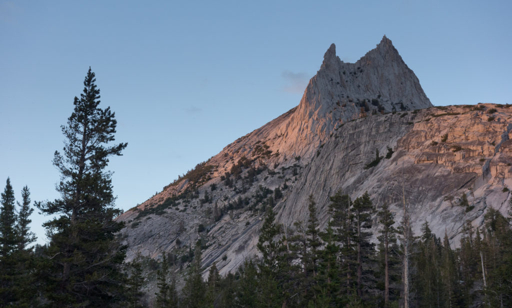
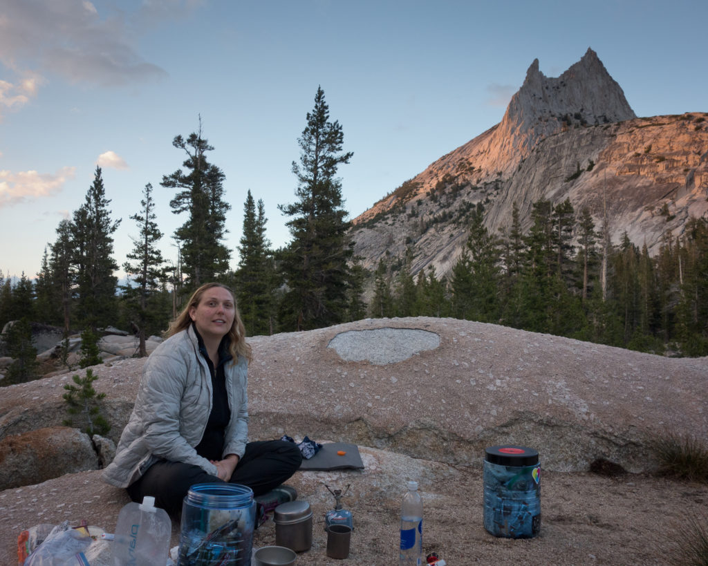
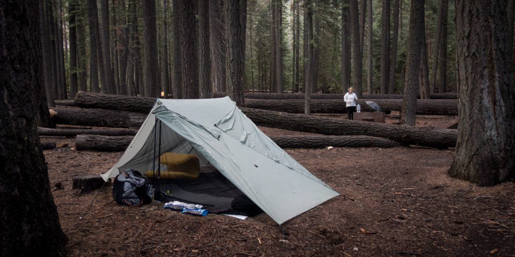
Cathedral lake and peak are simply amazing.  It takes work to earn the view but my word is it worth it. We set up camp a ways up from the lake with a fantastic view of the peak and ate our dinner as alpine glow lit the place up in shades of pink and orange.

“No wonder the hills and groves were God’s first temples, and the more they are cut down and hewn into cathedrals and churches, the farther off and dimmer seems the Lord himself. The same may be said of stone temples. Yonder, to the eastward of our camp grove, stands one of Nature’s cathedrals, hewn from the living rock, almost conventional in form, about two thousand feet high, nobly adorned with spires and pinnacles, thrilling under floods of sunshine as if alive like a grove- temple, and well named “Cathedral Peak.” – John Muir

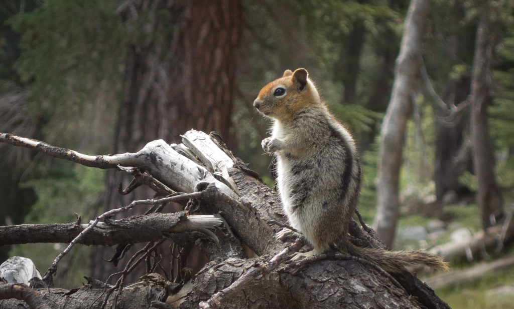
I still haven’t seen a pika, but lots of ground squirrels, chipmunks, deer, jays and maybe a frog. Tomorrow will be Tuolumne meadow and Lyell Canyon to set ourselves up to get over Donahue pass!

2015_07_22-008
I think that is Vogelsong in the distance. Maybe even Mt. Florence
Past Sunrise Camp
Past Sunrise Camp
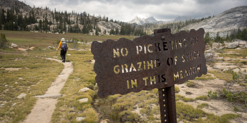
No grazing in the meadow, okay?
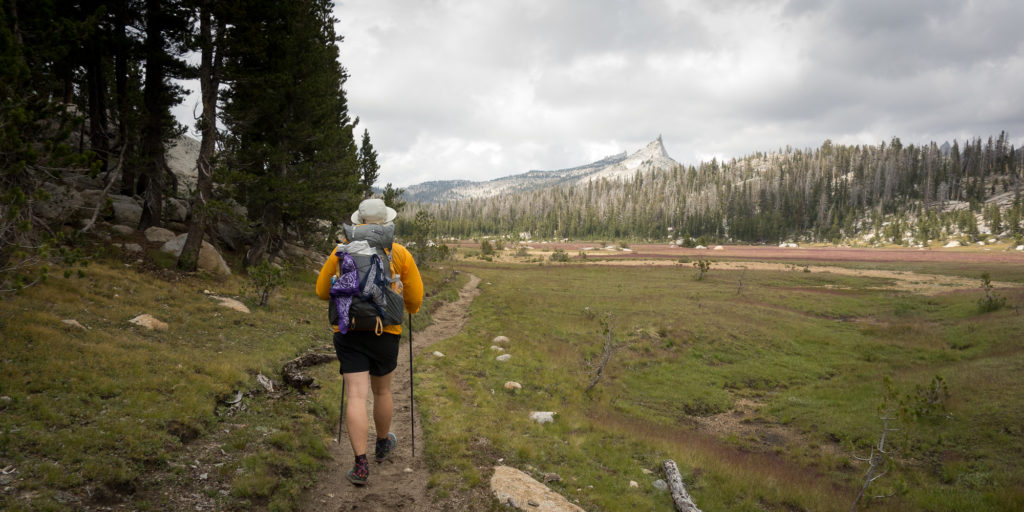
Long Meadow and Columbia Finger in the distance
Little pink cheeked after going over Cathedral Pass
2015_07_22-005
Headed down from Cathedral pass to the lake
Alpine glow
Alpine glow. And laundry.
Alpine glow on Cathedral Peak
2015_07_22-022
What’s for dinner?

Day 1 – Happy Isles to Little Yosemite Valley

7/21 – Happy Isles to Little Yosemite Valley
3.8 miles

It seemed like the planning would never end.

Martin and Dorothy drove up to Yosemite with us.  They had never been inside Yosemite.  We use to go to Camp Mather on the edge of the park many times when I was a kid, but they never made it into the valley.

Mom was completely enthralled and excited by the valley.  She had never seen anything like it.  Well, almost.  She compared it to the Old Man in the Mountain in New Hampshire, which is sadly no longer.

We found a place to park on the side of the road (all the parking lots were full) and walked over to the wilderness office to get our permit.  The ranger rattled off a lot of information about bear cans, wag bags, 4 mile no camp zones, etc. After finally getting our official permit, we grabbed a sandwich lunch at Degnan’s Deli just in time for a storm to blow in. Lots of thunder and lightning and a downpour for a couple of hours.  We all took naps in our cabins in Curry Village waiting for the rain to die down.  Then Kevin and I showed Mom and Dad the Mountain Room at the lodge, site of our engagement dinner.  My nerves about the trip were really getting going.  Dad reminded me that all I had to do was get to Tuolumne Meadows, which was two nights.  And then get to Red’s Meadow, which was 4 nights.  And then do another 4 nights to get to Muir Trail Ranch.  Ideally by that point I’ll be acclimated to the elevation and strong. He recounted a story when he had just started out on his cross ocean sailing adventure to Tahiti. On their second night at sea, sailing south from San Francisco to Los Angeles they encounter a strong off shore gale and the wind was driving them in towards shore.  They scrambled to get their foulies out of storage and a different sails up but unfortunately they had packed all the important gear underneath, as he describes, the rubber duckies, beach umbrellas, and inner tubes.  Lesson learned, pack important stuff on top.  He obviously survived :).

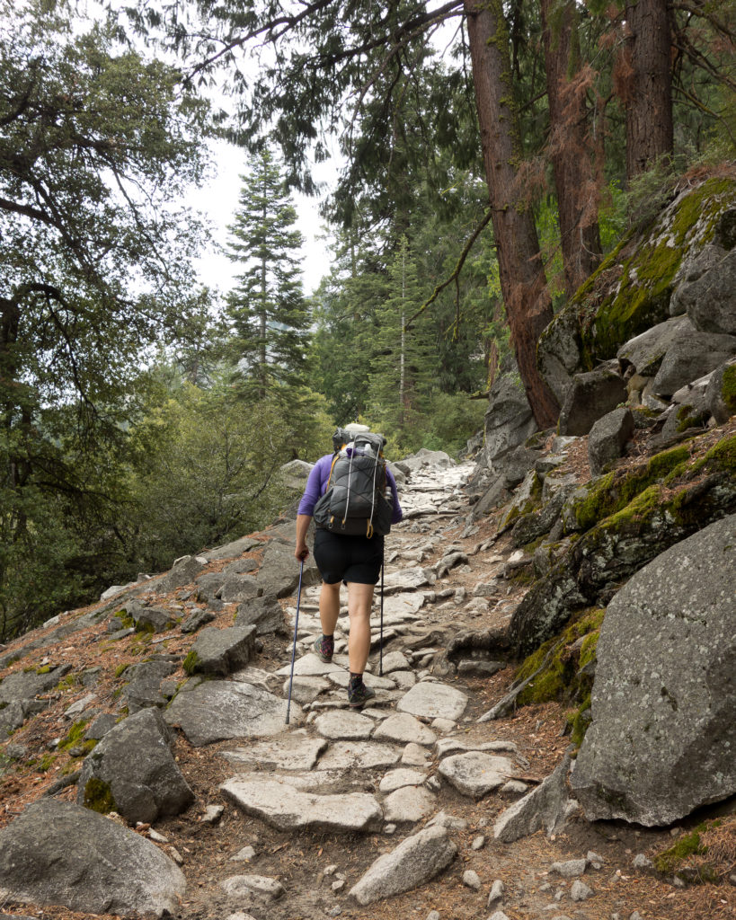
Either way I was very nervous this morning.  Everyone in Curry Village was annoying me.  A woman let the water run as she was doing make up and brushing her teeth, completely unaware of the signs that point out we are in a severe drought.  Two teenaged girls fed some squirrels bread, ignoring another sign that stated to not feed the wildlife.  So it felt very good to finally start climbing and get beyond the day hikers.  As we were coming up to Nevada falls we passed a man finishing up his JMT trip going north bound.  He had on dirty girl gaiters that his daughter picked out for him.  We quickly chatted about gear, pack weight, and mosquitoes.  He was very friendly and easy going.  Makes me excited to meet more folks like him on the trail.

We quickly made it up past Vernal and Nevada Fall and into Little Yosemite Valley.  After pumping really brown muddy water from the river we set up camp and decided to take a nap and wait out the thunderstorm that rolled through.

Tomorrow, 12.5 to Cathedral Lakes!

2015_07_21-002
Leaving Camp Curry and headed to Happy Isles
2015_07_21-003
Official start of the trail!
2015_07_21-005
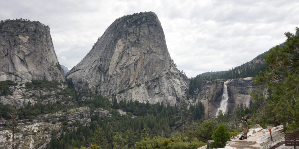
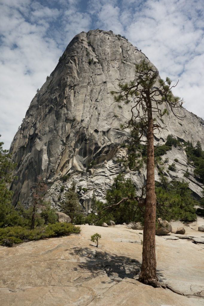
Liberty Cap
2015_07_21-006
Yay first day!
2015_07_21-010
Going up!
2015_07_21-008
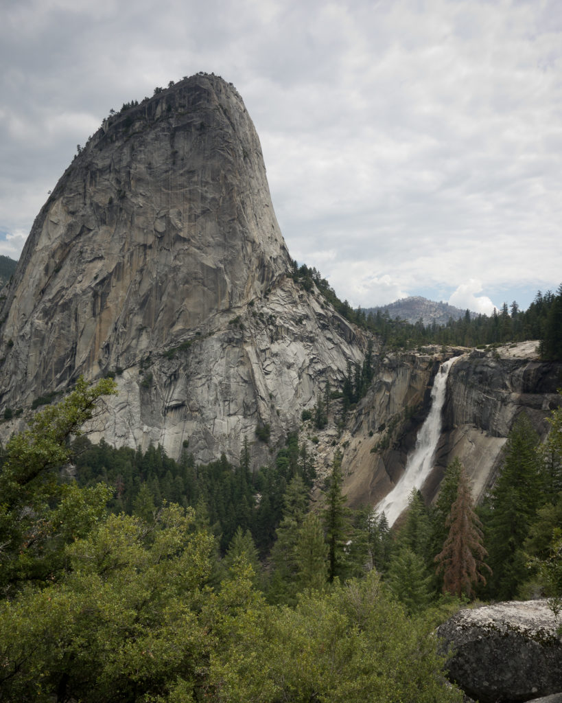
Liberty Cap and Nevada Fall
2015_07_21-011
Another shot of Liberty Cap and Nevada Fall
2015_07_21-012
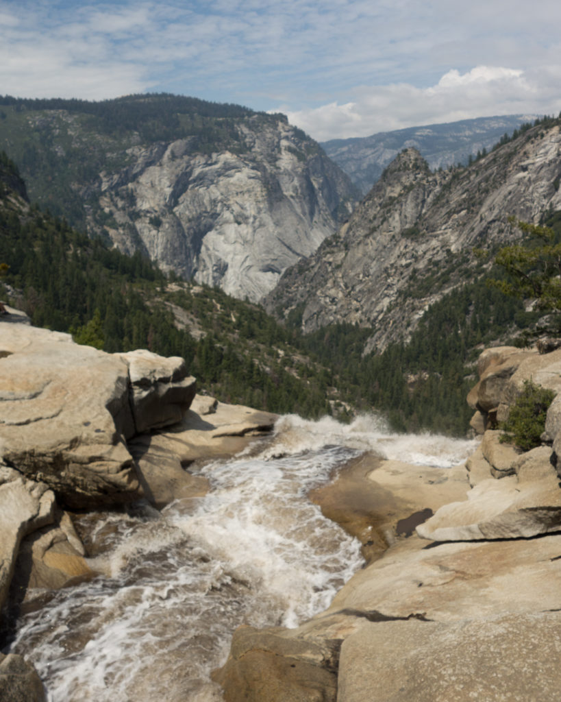
Top of Nevada Fall


2015_07_21-013
Big tree. Baby tree.
2015_07_21-014
Little Yosemite Valley. Camp for the night after a hard down pour.


Adventures in Dehydrating

Probably the biggest challenge of hiking 220 miles nearly unsupported, is planning out the food.  Have you ever planned, purchased, and prepared meals for 17+ days? Neither had I before this point. We will conceivably need 51 meals plus a lot of snacks. We are aiming at completing the JMT in 17 days so that means we need to average 12.94 miles per day. That is basically a half marathon every day so we will need lots of calorie-dense food to avoid bonking. We decided after calculating the cost of store bought camping meals to dehydrate and prepare our own food.  This is no small undertaking. The first thing I did was research good food dehydrators and many a blogs recommended the Nesco Snackmaster Pro.

Pros – it works great, central fan dehydrates food evenly, trays all come apart and it is easy to clean

Cons – no timer or auto shut off means we have to monitor it. I guess we could have spent more money for that feature. The hole in the center and circular shape make it more difficult to work with.  Oh and it doesn’t actually say Snackmaster on the top. I was super disappointed about that.

Next thing we purchased was a Food Saver – Game Saver Deluxe Plus (where do people come up with these names?). Haven’t gotten to use it yet; will soon when we pack up all our meals. In terms of what to actually dehydrate, we are following the recipes outlined in the “Backpacking Chef.” The recipes are simple, easy to follow, and look delicious.

So far we have dehydrated:

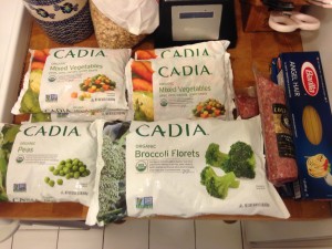
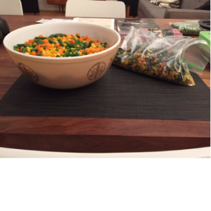
8 pounds of mixed vegetables
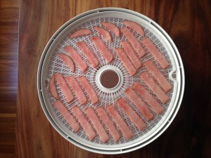
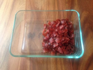
3 lbs of smoked ham
7 red bell peppers
2 lbs of peas
2 lbs of broccoli
5 lbs of potato vegetable bark
5 jars of tomato sauce

bunnies do so love their veg
Bunnies do so love their veg
ham before
Ham Before
ham after
Ham After
peas2
Veg before and after.